Coxim night lights from space
Night Light of Coxim (Mato Grosso do Sul) from space (Brazil) Src. Average luminocity for 10x10km area is 25.1033% and for 50x50km: 1.3135%.
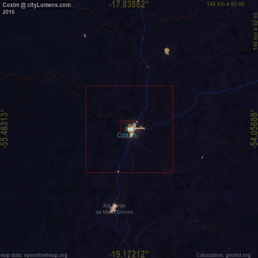
Analysis of Coxim night lights 2016
Square area 10x10 km:
 1.86%
1.86%90-99
2.27%80-89
4.34%70-79
3.72%60-69
8.47%50-59
0.83%40-49
6.2%30-39
2.48%20-29
0.41%10-19
19.83%0-9
49.59%Square area 50x50 km:
0.07%90-99
0.09%80-89
0.19%70-79
0.23%60-69
0.4%50-59
0.03%40-49
0.31%30-39
0.1%20-29
0.04%10-19
1.03%0-9
97.51%Clear (daylight) street map image can be seen on geolist.org.
Map coordinates:
17° 50' 19" South, 55° 27' 47.3" West
18° 30' 24" South, 54° 45' 36" West
19° 10' 19.6" South, 54° 3' 24.8" West
Some cities around Coxim sort by population:
• Campo Grande
215.6 km =134 mi,  176°
176°
• Rondonópolis
226.7 km =140.9 mi,  3°
3°
• Campo Verde
224.5 km =139.5 mi,  161°
161°
• Rio Verde de Mato Grosso
46.6 km =29 mi,  190°
190°
• Ribas do Rio Pardo
239.5 km =148.8 mi,  154°
154°
• Camapuã
136.6 km =84.9 mi, 146°
• Alto Araguaia
210.4 km =130.7 mi,  50°
50°
• Terenos
215.5 km =133.9 mi, 182°
3465228 (p: 30,215)
Sources (retrieved 2019-11-25):
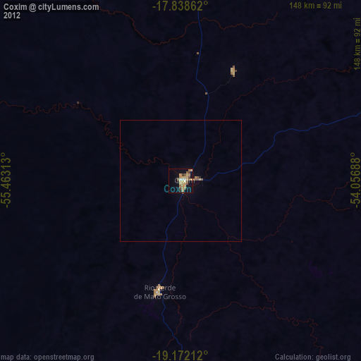
» Earth at Night: Flat Maps 2012, 2016