Ribas do Rio Pardo night lights from space
Night Light of Ribas do Rio Pardo (Mato Grosso do Sul) from space (Brazil) Src. Average luminocity for 10x10km area is 11.2481% and for 50x50km: 0.493%.
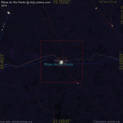
Analysis of Ribas do Rio Pardo night lights 2016
Square area 10x10 km:
 1.89%
1.89%90-99
1.33%80-89
1.33%70-79
3.03%60-69
0.76%50-59
0.76%40-49
2.27%30-39
0.76%20-29
0.76%10-19
0.19%0-9
86.93%Square area 50x50 km:
0.08%90-99
0.06%80-89
0.06%70-79
0.13%60-69
0.03%50-59
0.03%40-49
0.1%30-39
0.03%20-29
0.03%10-19
0.01%0-9
99.45%Clear (daylight) street map image can be seen on geolist.org.
Map coordinates:
19° 46' 58.2" South, 54° 27' 44.3" West
20° 26' 35" South, 53° 45' 33" West
21° 6' 1.7" South, 53° 3' 21.8" West
Some cities around Ribas do Rio Pardo sort by population:
• Campo Grande
92.4 km =57.4 mi,  270°
270°
• Campo Verde
32.2 km =20 mi,  275°
275°
• Maracaju
195.8 km =121.7 mi,  228°
228°
• Rio Brilhante
171.7 km =106.7 mi,  208°
208°
• Sidrolândia
136.4 km =84.8 mi,  246°
246°
• Rio Verde de Mato Grosso
204.1 km =126.8 mi,  326°
326°
• Camapuã
105.6 km =65.6 mi,  343°
343°
• Terenos
114.7 km =71.3 mi, 270°
3451399 (p: 11,934)
Sources (retrieved 2019-11-25):
» Earth at Night: Flat Maps 2012, 2016