Rondonópolis night lights from space
Night Light of Rondonópolis (Mato Grosso) from space (Brazil) Src. Average luminocity for 10x10km area is 84.3264% and for 50x50km: 7.4177%.
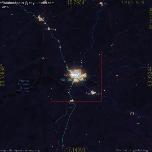
Analysis of Rondonópolis night lights 2016
Square area 10x10 km:
 30.37%
90-99
26.86%80-89
10.54%70-79
10.74%60-69
6.61%50-59
4.55%40-49
4.75%30-39
3.51%20-29
1.86%10-19
0.21%0-9
0%Square area 50x50 km:
1.44%90-99
1.33%80-89
0.75%70-79
1.09%60-69
0.87%50-59
0.6%40-49
1.18%30-39
0.95%20-29
1.47%10-19
4.37%0-9
85.95%Clear (daylight) street map image can be seen on geolist.org.
Map coordinates:
15° 47' 43.4" South, 55° 20' 19.3" West
16° 28' 15" South, 54° 38' 8" West
17° 8' 38.1" South, 53° 55' 56.8" West
Some cities around Rondonópolis sort by population:
• Cuiabá
184 km =114.3 mi,  301°
301°
• Lucas
139.3 km =86.6 mi,  276°
276°
• Jaciara
66.5 km =41.3 mi,  327°
327°
• Chapada dos Guimarães
163.7 km =101.7 mi,  313°
313°
• Poxoréo
75.2 km =46.7 mi,  20°
20°
• Guiratinga
94.2 km =58.5 mi,  81°
81°
• Alto Araguaia
177.9 km =110.5 mi,  121°
121°
• Santo Antônio do Leverger
168 km =104.4 mi,  293°
293°
3450909 (p: 152,912)
Sources (retrieved 2019-11-25):
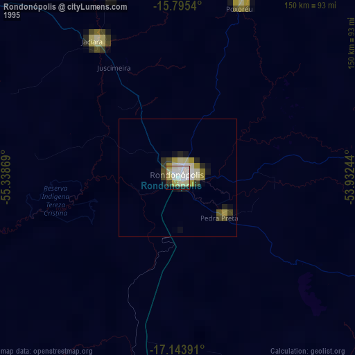
» NASA, Earths city lights 1995
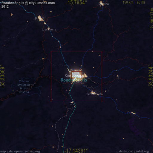
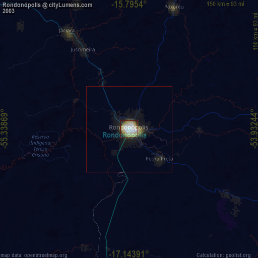
» NASA city lights 2003
» Earth at Night: Flat Maps 2012, 2016