Camapuã night lights from space
Night Light of Camapuã (Mato Grosso do Sul) from space (Brazil) Src. Average luminocity for 10x10km area is 9.1116% and for 50x50km: 0.4405%.
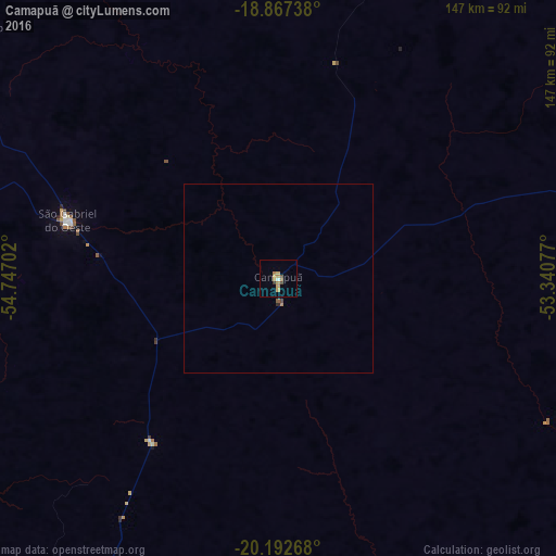
Analysis of Camapuã night lights 2016
Square area 10x10 km:
 0.21%
0.21%90-99
0.62%80-89
2.48%70-79
2.69%60-69
1.45%50-59
0.83%40-49
1.65%30-39
0.83%20-29
0%10-19
0%0-9
89.26%Square area 50x50 km:
0.01%90-99
0.02%80-89
0.1%70-79
0.13%60-69
0.06%50-59
0.06%40-49
0.1%30-39
0.03%20-29
0.03%10-19
0%0-9
99.45%Clear (daylight) street map image can be seen on geolist.org.
Map coordinates:
18° 52' 2.6" South, 54° 44' 49.3" West
19° 31' 53" South, 54° 2' 38" West
20° 11' 33.6" South, 53° 20' 26.8" West
Some cities around Camapuã sort by population:
• Campo Grande
119.3 km =74.1 mi,  211°
211°
• Aquidauana
210 km =130.5 mi,  240°
240°
• Coxim
136.6 km =84.9 mi,  326°
326°
• Campo Verde
98.5 km =61.2 mi,  181°
181°
• Sidrolândia
182.8 km =113.6 mi, 211°
• Rio Verde de Mato Grosso
108.2 km =67.2 mi,  309°
309°
• Ribas do Rio Pardo
105.6 km =65.6 mi,  163°
163°
• Terenos
132.4 km =82.3 mi,  220°
220°
3468020 (p: 11,118)
Sources (retrieved 2019-11-25):
» Earth at Night: Flat Maps 2012, 2016