Alto Araguaia night lights from space
Night Light of Alto Araguaia (Mato Grosso) from space (Brazil) Src. Average luminocity for 10x10km area is 22.75% and for 50x50km: 1.1456%.
Analysis of Alto Araguaia night lights 2016
Square area 10x10 km:
 3.51%
3.51%90-99
3.1%80-89
0.62%70-79
8.68%60-69
1.45%50-59
0.83%40-49
4.55%30-39
1.24%20-29
1.24%10-19
16.12%0-9
58.68%Square area 50x50 km:
0.14%90-99
0.12%80-89
0.06%70-79
0.37%60-69
0.09%50-59
0.06%40-49
0.28%30-39
0.07%20-29
0.06%10-19
0.63%0-9
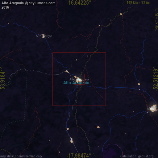
98.12%Clear (daylight) street map image can be seen on geolist.org.
Map coordinates:
16° 38' 32.1" South, 53° 55' 6.3" West
17° 18' 53" South, 53° 12' 55" West
17° 59' 5.1" South, 52° 30' 43.8" West
Some cities around Alto Araguaia sort by population:
• Rondonópolis
177.9 km =110.5 mi,  301°
301°
• Jataí
170.3 km =105.8 mi,  111°
111°
• Barra do Garças
188.5 km =117.1 mi,  32°
32°
• Mineiros
75.9 km =47.2 mi, 111°
• Aragarças
188.1 km =116.9 mi, 33°
• Caiapônia
154.5 km =96 mi,  75°
75°
• Guiratinga
122.5 km =76.1 mi,  331°
331°
• Piranhas
178.1 km =110.7 mi,  56°
56°
3472473 (p: 8,780)
Sources (retrieved 2019-11-25):
» Earth at Night: Flat Maps 2012, 2016