Campo Grande night lights from space
Night Light of Campo Grande (Mato Grosso do Sul) from space (Brazil) Src. Average luminocity for 10x10km area is 83.5246% and for 50x50km: 15.6007%.
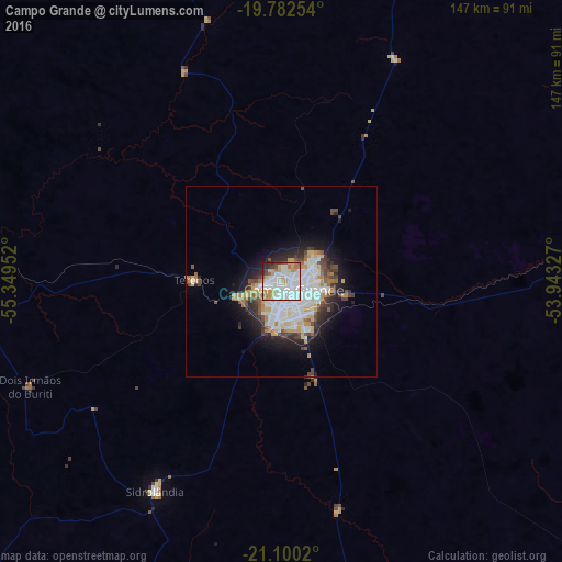
Analysis of Campo Grande night lights 2016
Square area 10x10 km:
 35.42%
90-99
24.62%80-89
7.77%70-79
10.04%60-69
7.2%50-59
2.65%40-49
3.22%30-39
3.41%20-29
4.73%10-19
0.95%0-9
0%Square area 50x50 km:
4.71%90-99
3.24%80-89
1.72%70-79
1.66%60-69
1.36%50-59
1.18%40-49
1.88%30-39
1.54%20-29
3.18%10-19
5.95%0-9
73.59%Clear (daylight) street map image can be seen on geolist.org.
Map coordinates:
19° 46' 57.1" South, 55° 20' 58.3" West
20° 26' 34" South, 54° 38' 47" West
21° 6' 0.7" South, 53° 56' 35.8" West
Some cities around Campo Grande sort by population:
• Aquidauana
118.9 km =73.9 mi,  268°
268°
• Maracaju
141.1 km =87.7 mi,  202°
202°
• Rio Brilhante
151.5 km =94.1 mi,  176°
176°
• Anastácio
121 km =75.2 mi, 267°
• Sidrolândia
63.5 km =39.5 mi,  211°
211°
• Ribas do Rio Pardo
92.4 km =57.4 mi,  90°
90°
• Camapuã
119.3 km =74.1 mi,  31°
31°
• Terenos
22.3 km =13.9 mi, 270°
3467747 (p: 729,151)
Sources (retrieved 2019-11-25):
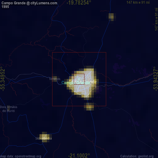
» NASA, Earths city lights 1995
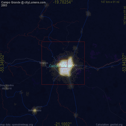
» NASA city lights 2003
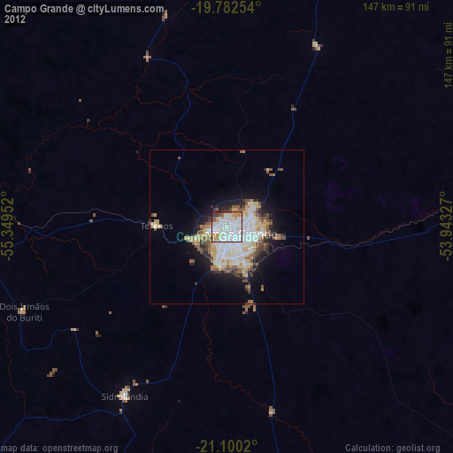
» Earth at Night: Flat Maps 2012, 2016