Campo Verde night lights from space
Night Light of Campo Verde (Mato Grosso do Sul) from space (Brazil) Src. Average luminocity for 10x10km area is 0% and for 50x50km: 0%.
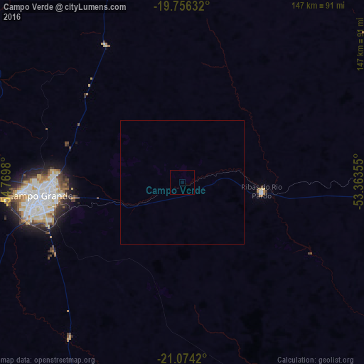
Analysis of Campo Verde night lights 2016
Square area 10x10 km:
 0%
0%90-99
0%80-89
0%70-79
0%60-69
0%50-59
0%40-49
0%30-39
0%20-29
0%10-19
0%0-9
100%Square area 50x50 km:
0%90-99
0%80-89
0%70-79
0%60-69
0%50-59
0%40-49
0%30-39
0%20-29
0%10-19
0%0-9
100%Clear (daylight) street map image can be seen on geolist.org.
Map coordinates:
19° 45' 22.8" South, 54° 46' 11.3" West
20° 25' 0" South, 54° 4' 0" West
21° 4' 27.1" South, 53° 21' 48.8" West
Some cities around Campo Verde sort by population:
• Aquidauana
179.4 km =111.5 mi,  268°
268°
• Maracaju
175.5 km =109.1 mi,  220°
220°
• Rio Brilhante
161.9 km =100.6 mi,  197°
197°
• Anastácio
181.5 km =112.8 mi, 267°
• Sidrolândia
109.3 km =67.9 mi,  238°
238°
• Ribas do Rio Pardo
32.2 km =20 mi,  95°
95°
• Camapuã
98.5 km =61.2 mi,  1°
1°
• Terenos
82.7 km =51.4 mi, 268°
3467673 (p: 22,806)
Sources (retrieved 2019-11-25):
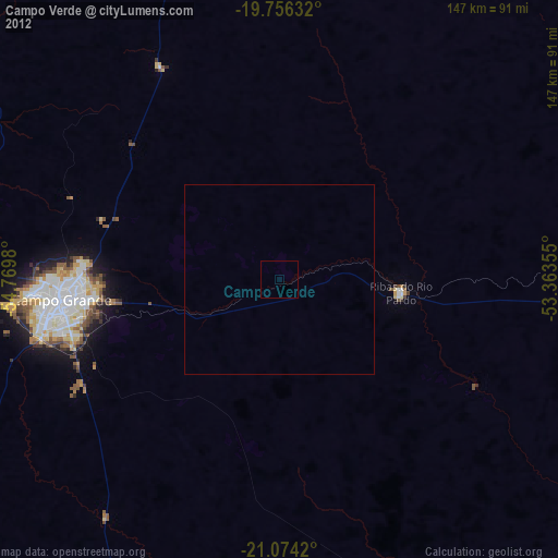
» Earth at Night: Flat Maps 2012, 2016