Pirapora night lights from space
Night Light of Pirapora (Minas Gerais) from space (Brazil) Src. Average luminocity for 10x10km area is 45.1364% and for 50x50km: 2.4479%.
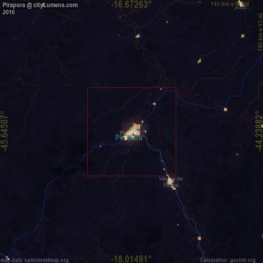
Analysis of Pirapora night lights 2016
Square area 10x10 km:
 2.07%
2.07%90-99
4.34%80-89
10.12%70-79
20.87%60-69
4.55%50-59
2.69%40-49
4.96%30-39
2.48%20-29
8.26%10-19
32.64%0-9
7.02%Square area 50x50 km:
0.08%90-99
0.17%80-89
0.41%70-79
0.9%60-69
0.23%50-59
0.14%40-49
0.31%30-39
0.13%20-29
0.49%10-19
2.41%0-9
94.73%Clear (daylight) street map image can be seen on geolist.org.
Map coordinates:
16° 40' 21.5" South, 45° 38' 42.3" West
17° 20' 42" South, 44° 56' 31" West
18° 0' 53.7" South, 44° 14' 19.8" West
Some cities around Pirapora sort by population:
• Montes Claros
133.4 km =82.9 mi,  59°
59°
• Bocaiúva
122.6 km =76.2 mi,  77°
77°
• Várzea da Palma
35.7 km =22.2 mi,  141°
141°
• João Pinheiro
137.7 km =85.6 mi,  251°
251°
• Buritizeiro
2.3 km =1.4 mi, 252°
• Corinto
126.1 km =78.4 mi,  155°
155°
• Brasília de Minas
137.7 km =85.6 mi,  23°
23°
• Coração de Jesus
95.6 km =59.4 mi,  39°
39°
3453546 (p: 51,656)
Sources (retrieved 2019-11-25):
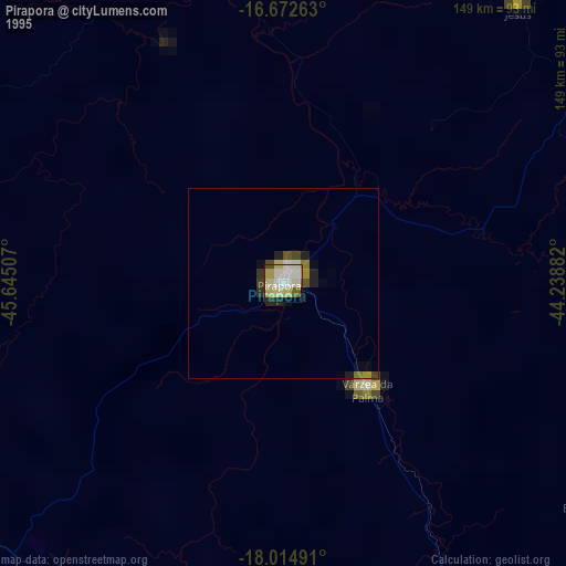
» NASA, Earths city lights 1995
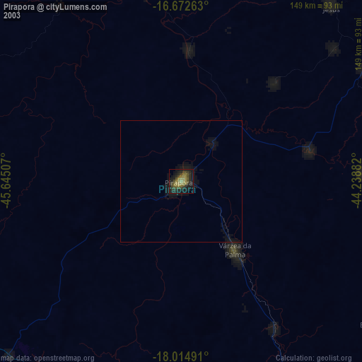
» NASA city lights 2003
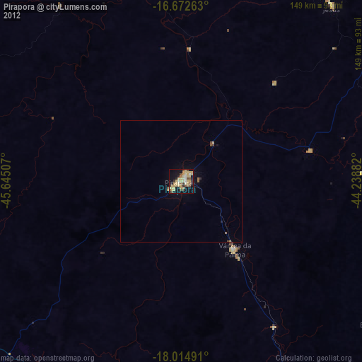
» Earth at Night: Flat Maps 2012, 2016