Cocal night lights from space
Night Light of Cocal (Piauí) from space (Brazil) Src. Average luminocity for 10x10km area is 9.6342% and for 50x50km: 0.6308%.
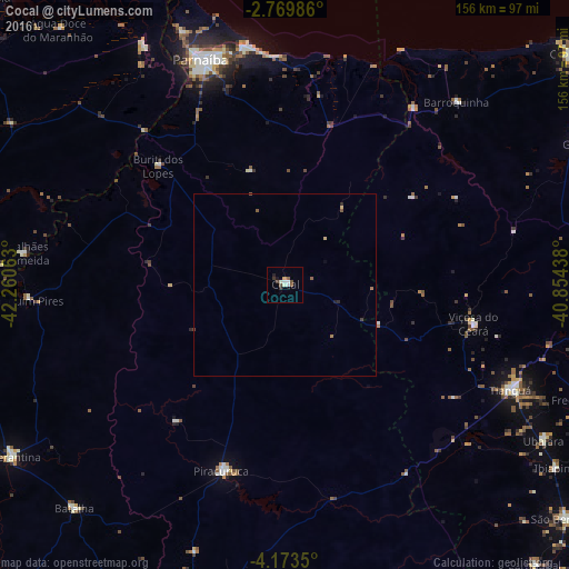
Analysis of Cocal night lights 2016
Square area 10x10 km:
 1.08%
1.08%90-99
3.03%80-89
0.65%70-79
0.43%60-69
0.22%50-59
1.73%40-49
2.38%30-39
0.87%20-29
1.73%10-19
0.87%0-9
87.01%Square area 50x50 km:
0.04%90-99
0.12%80-89
0.1%70-79
0.02%60-69
0.08%50-59
0.19%40-49
0.13%30-39
0.05%20-29
0.14%10-19
0.07%0-9
99.07%Clear (daylight) street map image can be seen on geolist.org.
Map coordinates:
2° 46' 11.5" South, 42° 15' 38.3" West
3° 28' 19" South, 41° 33' 27" West
4° 10' 24.6" South, 40° 51' 15.8" West
Some cities around Cocal sort by population:
• Parnaíba
67.6 km =42 mi,  338°
338°
• Tianguá
69.1 km =42.9 mi,  114°
114°
• Piracuruca
53.4 km =33.2 mi,  198°
198°
• Viçosa do Ceará
52.6 km =32.7 mi,  101°
101°
• Barroquinha
68.7 km =42.7 mi,  42°
42°
• Luís Correia
67 km =41.6 mi,  349°
349°
• Buriti dos Lopes
47.6 km =29.6 mi,  313°
313°
• Juá dos Vieiras
29.4 km =18.3 mi, 103°
3402050 (p: 12,097)
Sources (retrieved 2019-11-25):
» Earth at Night: Flat Maps 2012, 2016