Tianguá night lights from space
Night Light of Tianguá (Ceará) from space (Brazil) Src. Average luminocity for 10x10km area is 38.5152% and for 50x50km: 5.6625%.
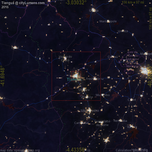
Analysis of Tianguá night lights 2016
Square area 10x10 km:
 4.33%
4.33%90-99
5.84%80-89
4.11%70-79
5.19%60-69
7.58%50-59
9.09%40-49
3.9%30-39
5.41%20-29
7.36%10-19
40.04%0-9
7.14%Square area 50x50 km:
0.29%90-99
0.88%80-89
0.37%70-79
0.46%60-69
0.75%50-59
1.43%40-49
1.01%30-39
0.98%20-29
1.12%10-19
3.18%0-9
89.53%Clear (daylight) street map image can be seen on geolist.org.
Map coordinates:
3° 1' 49.2" South, 41° 41' 41.3" West
3° 43' 56" South, 40° 59' 30" West
4° 26' 0.8" South, 40° 17' 18.8" West
Some cities around Tianguá sort by population:
• Guaraciaba do Norte
55.4 km =34.4 mi,  150°
150°
• Viçosa do Ceará
21.9 km =13.6 mi,  329°
329°
• Ubajara
15.7 km =9.8 mi, 150°
• Coreaú
43.3 km =26.9 mi,  59°
59°
• Reriutaba
64.3 km =40 mi,  135°
135°
• Ibiapina
24.1 km =15 mi, 151°
• Juá dos Vieiras
40.7 km =25.3 mi,  302°
302°
• Cariré
62.4 km =38.8 mi,  112°
112°
3386449 (p: 45,696)
Sources (retrieved 2019-11-25):
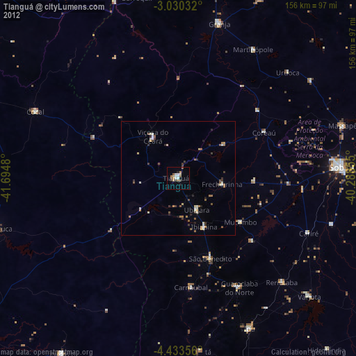
» Earth at Night: Flat Maps 2012, 2016