Urbano Santos night lights from space
Night Light of Urbano Santos (Maranhão) from space (Brazil) Src. Average luminocity for 10x10km area is 12.0584% and for 50x50km: 0.9888%.
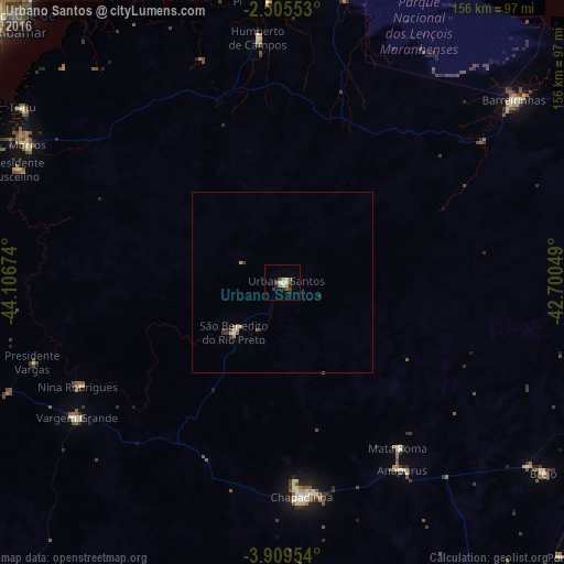
Analysis of Urbano Santos night lights 2016
Square area 10x10 km:
 0.65%
0.65%90-99
2.81%80-89
0.87%70-79
2.6%60-69
0.87%50-59
2.38%40-49
1.3%30-39
2.38%20-29
2.6%10-19
0%0-9
83.55%Square area 50x50 km:
0.05%90-99
0.15%80-89
0.15%70-79
0.2%60-69
0.07%50-59
0.16%40-49
0.1%30-39
0.26%20-29
0.15%10-19
0.07%0-9
98.65%Clear (daylight) street map image can be seen on geolist.org.
Map coordinates:
2° 30' 19.9" South, 44° 6' 24.3" West
3° 12' 28" South, 43° 24' 13" West
3° 54' 34.3" South, 42° 42' 1.8" West
Some cities around Urbano Santos sort by population:
• Chapadinha
59.6 km =37 mi,  175°
175°
• Vargem Grande
68 km =42.3 mi,  236°
236°
• Barreirinhas
81.5 km =50.6 mi,  51°
51°
• Santa Quitéria do Maranhão
101.1 km =62.8 mi,  109°
109°
• Santa Rita
88.8 km =55.2 mi,  214°
214°
• São Benedito do Rio Preto
19.7 km =12.2 mi,  224°
224°
• Brejo
89.8 km =55.8 mi,  126°
126°
• Humberto de Campos
68.1 km =42.3 mi,  354°
354°
3385726 (p: 12,268)
Sources (retrieved 2019-11-25):
» Earth at Night: Flat Maps 2012, 2016