Caraguatatuba night lights from space
Night Light of Caraguatatuba (São Paulo) from space (Brazil) Src. Average luminocity for 10x10km area is 38.6627% and for 50x50km: 7.8911%.
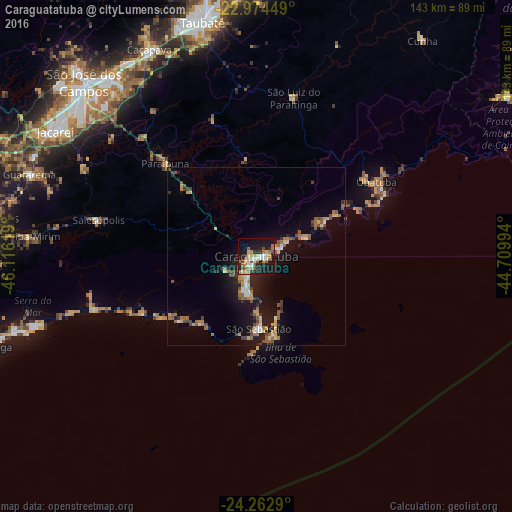
Analysis of Caraguatatuba night lights 2016
Square area 10x10 km:
 5.36%
5.36%90-99
4.96%80-89
4.96%70-79
5.16%60-69
7.34%50-59
8.73%40-49
3.97%30-39
2.18%20-29
11.31%10-19
37.3%0-9
8.73%Square area 50x50 km:
0.58%90-99
0.69%80-89
0.94%70-79
1.04%60-69
1.49%50-59
1.55%40-49
1.23%30-39
0.89%20-29
1.5%10-19
7.45%0-9
82.64%Clear (daylight) street map image can be seen on geolist.org.
Map coordinates:
22° 58' 28.2" South, 46° 6' 58.3" West
23° 37' 13" South, 45° 24' 47" West
24° 15' 46.4" South, 44° 42' 35.8" West
Some cities around Caraguatatuba sort by population:
• Jacareí
66.4 km =41.3 mi,  301°
301°
• Ubatuba
40.6 km =25.2 mi,  59°
59°
• São Sebastião
15.5 km =9.6 mi,  178°
178°
• Caçapava
65.1 km =40.5 mi,  332°
332°
• Ilhabela
18.4 km =11.4 mi,  162°
162°
• Biritiba Mirim
64 km =39.8 mi,  274°
274°
• Guararema
67.4 km =41.9 mi,  289°
289°
• Santa Branca
54.1 km =33.6 mi, 297°
3467081 (p: 90,843)
Sources (retrieved 2019-11-25):
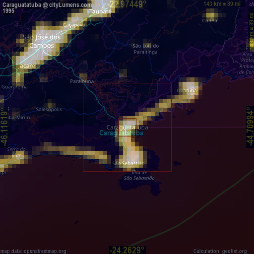
» NASA, Earths city lights 1995
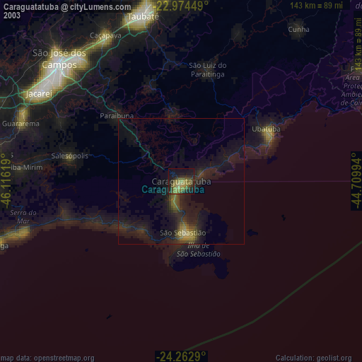
» NASA city lights 2003
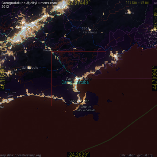
» Earth at Night: Flat Maps 2012, 2016