Pau Brasil night lights from space
Night Light of Pau Brasil (Bahia) from space (Brazil) Src. Average luminocity for 10x10km area is 2.4589% and for 50x50km: 0.5325%.
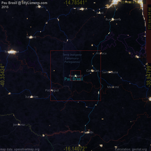
Analysis of Pau Brasil night lights 2016
Square area 10x10 km:
 0%
0%90-99
0.87%80-89
0%70-79
0.43%60-69
0.43%50-59
0%40-49
0.65%30-39
1.95%20-29
0%10-19
0%0-9
95.67%Square area 50x50 km:
0%90-99
0.13%80-89
0.07%70-79
0.11%60-69
0.03%50-59
0.12%40-49
0.17%30-39
0.14%20-29
0.03%10-19
0.03%0-9
99.17%Clear (daylight) street map image can be seen on geolist.org.
Map coordinates:
14° 47' 7.5" South, 40° 21' 15.3" West
15° 27' 51" South, 39° 39' 4" West
16° 8' 26.6" South, 38° 56' 52.8" West
Some cities around Pau Brasil sort by population:
• Itapetinga
68.3 km =42.4 mi,  290°
290°
• Una
64.6 km =40.1 mi,  72°
72°
• Ibicaraí
67 km =41.6 mi,  5°
5°
• Mascote
38.9 km =24.2 mi,  106°
106°
• Itororó
59.3 km =36.8 mi,  310°
310°
• Buerarema
67.6 km =42 mi,  33°
33°
• Itarantim
49.4 km =30.7 mi,  243°
243°
• Ibicuí
78 km =48.5 mi,  332°
332°
3454743 (p: 8,136)
Sources (retrieved 2019-11-25):
» Earth at Night: Flat Maps 2012, 2016