Maracaju night lights from space
Night Light of Maracaju (Mato Grosso do Sul) from space (Brazil) Src. Average luminocity for 10x10km area is 17.9583% and for 50x50km: 0.8069%.
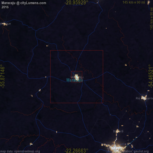

Analysis of Maracaju night lights 2016
Square area 10x10 km:
 2.65%
2.65%90-99
1.89%80-89
2.84%70-79
4.17%60-69
2.46%50-59
1.14%40-49
2.08%30-39
1.7%20-29
0%10-19
5.49%0-9
75.57%Square area 50x50 km:
0.11%90-99
0.08%80-89
0.12%70-79
0.18%60-69
0.1%50-59
0.05%40-49
0.09%30-39
0.07%20-29
0%10-19
0.23%0-9
98.97%Clear (daylight) street map image can be seen on geolist.org.
Map coordinates:
20° 57' 33.4" South, 55° 52' 17.3" West
21° 36' 52" South, 55° 10' 6" West
22° 15' 59.9" South, 54° 27' 54.8" West
Some cities around Maracaju sort by population:
• Dourados
77.1 km =47.9 mi,  150°
150°
• Pedro Juan Caballero, PY
118.9 km =73.9 mi,  209°
209°
• Ponta Porã
117.5 km =73 mi, 209°
• Jardim
101.4 km =63 mi,  278°
278°
• Rio Brilhante
67.5 km =41.9 mi,  107°
107°
• Sidrolândia
78.9 km =49 mi,  15°
15°
• Caarapó
118.9 km =73.9 mi,  162°
162°
• Guia Lopes da Laguna
99.4 km =61.8 mi, 280°
3457859 (p: 22,690)
Sources (retrieved 2019-11-25):
» Earth at Night: Flat Maps 2012, 2016