Cambuí night lights from space
Night Light of Cambuí (Minas Gerais) from space (Brazil) Src. Average luminocity for 10x10km area is 16.803% and for 50x50km: 3.3122%.
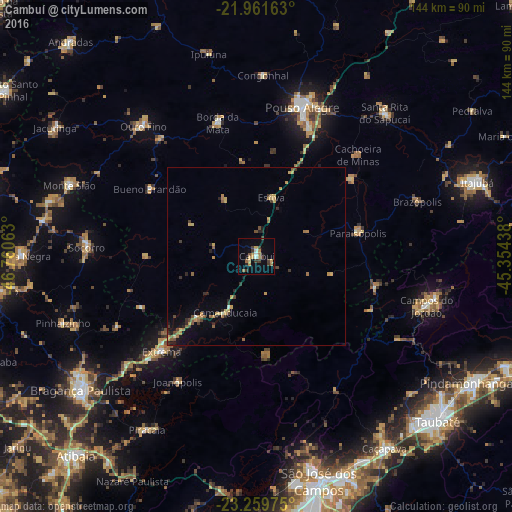
Analysis of Cambuí night lights 2016
Square area 10x10 km:
 1.33%
1.33%90-99
0.95%80-89
2.08%70-79
3.98%60-69
2.84%50-59
1.7%40-49
1.89%30-39
5.3%20-29
1.14%10-19
3.6%0-9
75.19%Square area 50x50 km:
0.09%90-99
0.09%80-89
0.55%70-79
0.85%60-69
0.5%50-59
0.49%40-49
0.53%30-39
0.55%20-29
0.71%10-19
0.97%0-9
94.67%Clear (daylight) street map image can be seen on geolist.org.
Map coordinates:
21° 57' 41.9" South, 46° 45' 38.3" West
22° 36' 44" South, 46° 3' 27" West
23° 15' 35.1" South, 45° 21' 15.8" West
Some cities around Cambuí sort by population:
• Pouso Alegre
44.3 km =27.5 mi,  16°
16°
• Socorro
48.4 km =30.1 mi,  272°
272°
• Camanducaia
18.3 km =11.4 mi,  209°
209°
• Extrema
38 km =23.6 mi,  224°
224°
• Paraisópolis
29.2 km =18.1 mi,  77°
77°
• Borda da Mata
39.2 km =24.4 mi,  343°
343°
• Joanópolis
41.8 km =26 mi, 212°
• Bueno Brandão
35.6 km =22.1 mi,  302°
302°
3467956 (p: 21,246)
Sources (retrieved 2019-11-25):
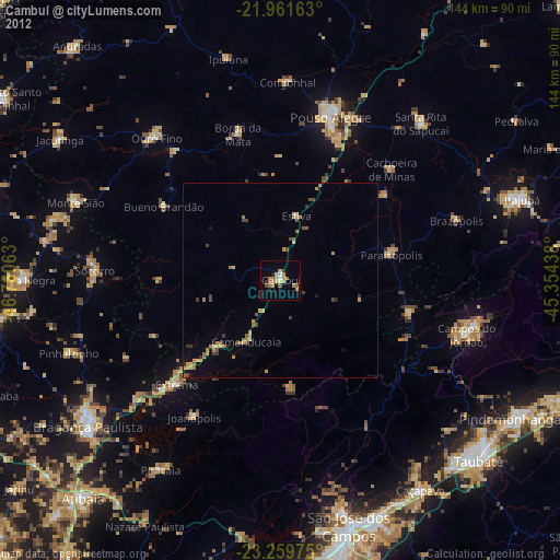
» Earth at Night: Flat Maps 2012, 2016