Pouso Alegre night lights from space
Night Light of Pouso Alegre (Minas Gerais) from space (Brazil) Src. Average luminocity for 10x10km area is 51.5947% and for 50x50km: 6.2091%.
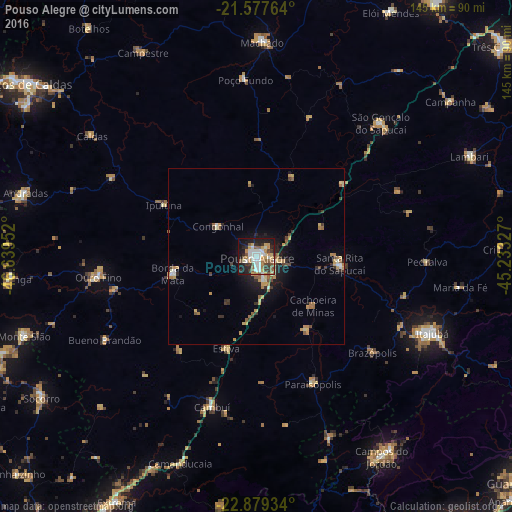
Analysis of Pouso Alegre night lights 2016
Square area 10x10 km:
 11.36%
90-99
9.85%80-89
5.87%70-79
7.58%60-69
6.06%50-59
9.47%40-49
4.17%30-39
9.09%20-29
9.85%10-19
24.62%0-9
2.08%Square area 50x50 km:
0.66%90-99
0.66%80-89
0.74%70-79
1.22%60-69
0.98%50-59
0.93%40-49
0.69%30-39
1.05%20-29
1.05%10-19
3.94%0-9
88.07%Clear (daylight) street map image can be seen on geolist.org.
Map coordinates:
21° 34' 39.5" South, 46° 38' 22.3" West
22° 13' 48" South, 45° 56' 11" West
22° 52' 45.6" South, 45° 13' 59.8" West
Some cities around Pouso Alegre sort by population:
• Itajubá
54.3 km =33.7 mi,  113°
113°
• Machado
61.8 km =38.4 mi,  1°
1°
• Santa Rita do Sapucaí
24.1 km =15 mi,  95°
95°
• Cambuí
44.3 km =27.5 mi,  196°
196°
• São Gonçalo do Sapucaí
51.4 km =31.9 mi,  43°
43°
• Paraisópolis
39.5 km =24.5 mi,  155°
155°
• Borda da Mata
24.1 km =15 mi,  258°
258°
• Bueno Brandão
48.6 km =30.2 mi,  241°
241°
3452525 (p: 115,201)
Sources (retrieved 2019-11-25):
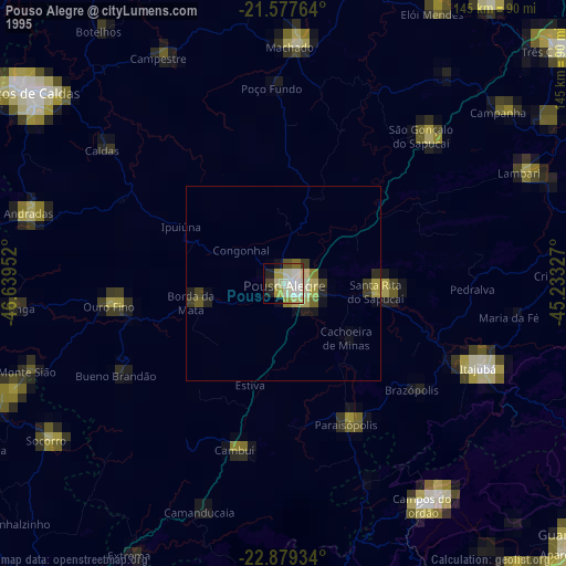
» NASA, Earths city lights 1995
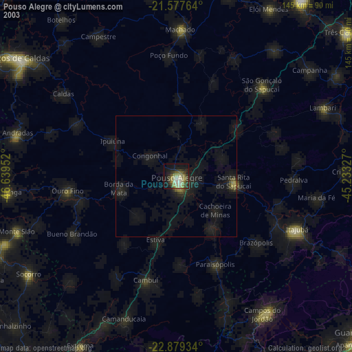
» NASA city lights 2003
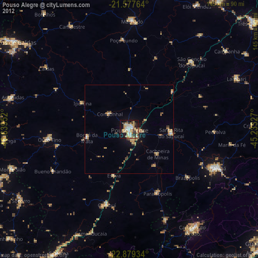
» Earth at Night: Flat Maps 2012, 2016