Socorro night lights from space
Night Light of Socorro (São Paulo) from space (Brazil) Src. Average luminocity for 10x10km area is 20.5909% and for 50x50km: 8.2489%.
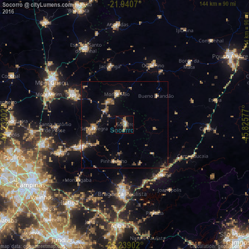
Analysis of Socorro night lights 2016
Square area 10x10 km:
 1.52%
1.52%90-99
1.52%80-89
1.33%70-79
3.98%60-69
4.17%50-59
5.3%40-49
3.41%30-39
3.79%20-29
1.52%10-19
10.98%0-9
62.5%Square area 50x50 km:
0.42%90-99
0.44%80-89
0.64%70-79
1.77%60-69
1.61%50-59
1.51%40-49
1.14%30-39
1.38%20-29
0.9%10-19
7.8%0-9
82.38%Clear (daylight) street map image can be seen on geolist.org.
Map coordinates:
21° 56' 26.5" South, 47° 13' 55.3" West
22° 35' 29" South, 46° 31' 44" West
23° 14' 20.5" South, 45° 49' 32.8" West
Some cities around Socorro sort by population:
• Itapira
34.7 km =21.6 mi,  299°
299°
• Amparo
27.1 km =16.8 mi,  243°
243°
• Serra Negra
17.8 km =11.1 mi,  262°
262°
• Águas de Lindóia
16.7 km =10.4 mi,  320°
320°
• Jacutinga
35.1 km =21.8 mi,  345°
345°
• Extrema
36.4 km =22.6 mi,  143°
143°
• Monte Sião
18.2 km =11.3 mi, 345°
• Bueno Brandão
24.8 km =15.4 mi,  47°
47°
3447437 (p: 24,272)
Sources (retrieved 2019-11-25):
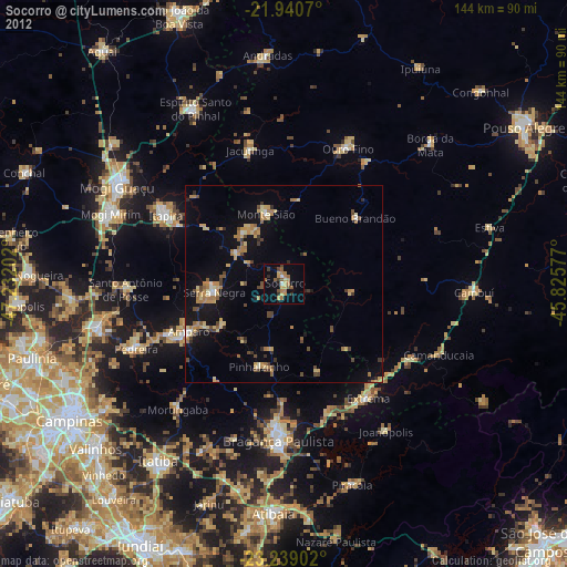
» Earth at Night: Flat Maps 2012, 2016