Paraguaçu night lights from space
Night Light of Paraguaçu (Minas Gerais) from space (Brazil) Src. Average luminocity for 10x10km area is 8.9072% and for 50x50km: 3.9565%.
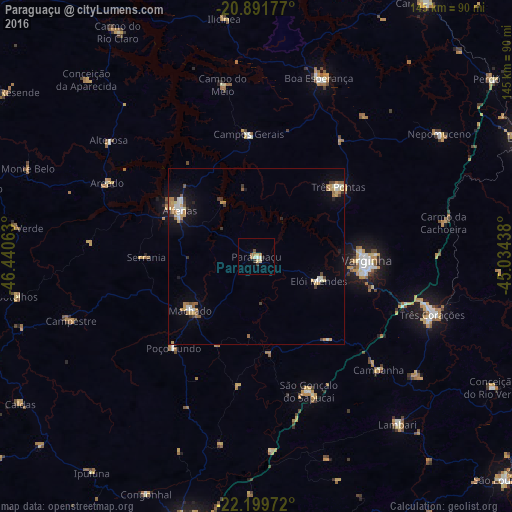
Analysis of Paraguaçu night lights 2016
Square area 10x10 km:
 0.57%
0.57%90-99
1.89%80-89
2.08%70-79
0.57%60-69
2.46%50-59
0.38%40-49
0.38%30-39
1.52%20-29
0.76%10-19
0.57%0-9
88.83%Square area 50x50 km:
0.4%90-99
0.63%80-89
0.47%70-79
0.72%60-69
0.71%50-59
0.35%40-49
0.3%30-39
0.5%20-29
0.22%10-19
1.95%0-9
93.74%Clear (daylight) street map image can be seen on geolist.org.
Map coordinates:
20° 53' 30.4" South, 46° 26' 26.3" West
21° 32' 50" South, 45° 44' 15" West
22° 11' 59" South, 45° 2' 3.8" West
Some cities around Paraguaçu sort by population:
• Varginha
31.8 km =19.8 mi,  90°
90°
• Alfenas
25.4 km =15.8 mi,  301°
301°
• Três Pontas
30.7 km =19.1 mi,  49°
49°
• Machado
23.6 km =14.7 mi,  233°
233°
• Campos Gerais
34.8 km =21.6 mi,  356°
356°
• São Gonçalo do Sapucaí
41.1 km =25.5 mi,  159°
159°
• Elói Mendes
19.1 km =11.9 mi,  111°
111°
• Areado
47.1 km =29.3 mi, 296°
3455155 (p: 15,741)
Sources (retrieved 2019-11-25):
» Earth at Night: Flat Maps 2012, 2016