Areado night lights from space
Night Light of Areado (Minas Gerais) from space (Brazil) Src. Average luminocity for 10x10km area is 5.4432% and for 50x50km: 2.3052%.
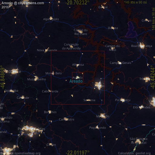
Analysis of Areado night lights 2016
Square area 10x10 km:
 0%
0%90-99
0.38%80-89
0.76%70-79
2.65%60-69
2.27%50-59
0%40-49
0%30-39
0%20-29
0%10-19
0.76%0-9
93.18%Square area 50x50 km:
0.22%90-99
0.3%80-89
0.19%70-79
0.62%60-69
0.53%50-59
0.17%40-49
0.16%30-39
0.23%20-29
0.15%10-19
1.84%0-9
95.58%Clear (daylight) street map image can be seen on geolist.org.
Map coordinates:
20° 42' 8.4" South, 46° 50' 55.3" West
21° 21' 31" South, 46° 8' 44" West
22° 0' 43.1" South, 45° 26' 32.8" West
Some cities around Areado sort by population:
• Alfenas
22 km =13.7 mi,  110°
110°
• Machado
42.2 km =26.2 mi,  146°
146°
• Campos Gerais
42.4 km =26.3 mi,  71°
71°
• Muzambinho
39.4 km =24.5 mi,  267°
267°
• Carmo do Rio Claro
43.1 km =26.8 mi,  3°
3°
• Campestre
40.6 km =25.2 mi,  194°
194°
• Botelhos
40 km =24.9 mi,  220°
220°
• Alterosa
12.2 km =7.6 mi, 1°
3471674 (p: 10,689)
Sources (retrieved 2019-11-25):
» Earth at Night: Flat Maps 2012, 2016