Rolândia night lights from space
Night Light of Rolândia (Paraná) from space (Brazil) Src. Average luminocity for 10x10km area is 45.1174% and for 50x50km: 15.9112%.
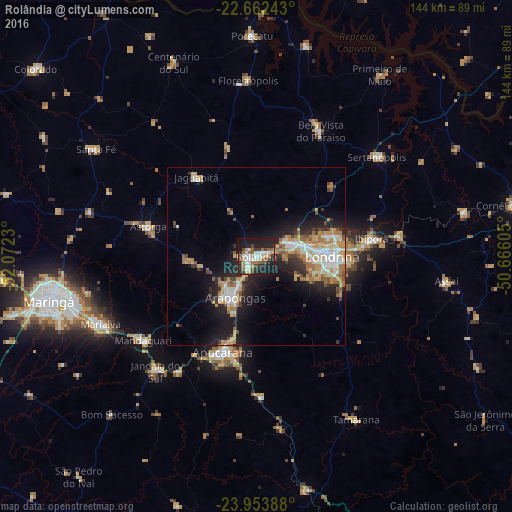
Analysis of Rolândia night lights 2016
Square area 10x10 km:
 7.77%
7.77%90-99
8.71%80-89
5.68%70-79
4.92%60-69
5.3%50-59
5.87%40-49
6.63%30-39
7.77%20-29
17.05%10-19
28.41%0-9
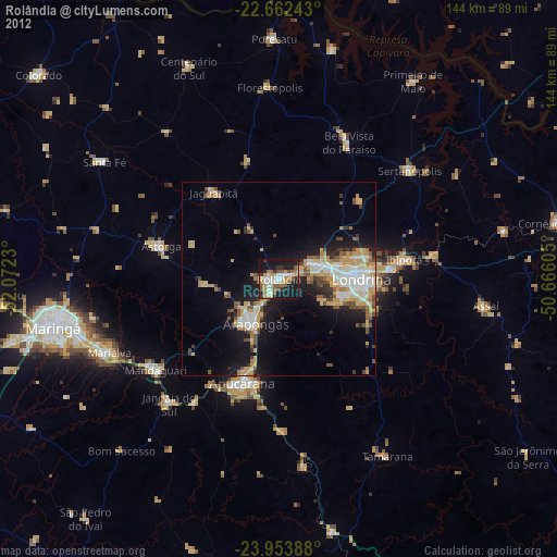
1.89%Square area 50x50 km:
2.45%90-99
2.61%80-89
1.84%70-79
2.79%60-69
2.8%50-59
1.57%40-49
1.37%30-39
1.92%20-29
4.8%10-19
9.95%0-9
67.91%Clear (daylight) street map image can be seen on geolist.org.
Map coordinates:
22° 39' 44.7" South, 52° 4' 20.3" West
23° 18' 35" South, 51° 22' 9" West
23° 57' 14" South, 50° 39' 57.8" West
Some cities around Rolândia sort by population:
• Londrina
21.1 km =13.1 mi,  90°
90°
• Apucarana
28.4 km =17.6 mi,  199°
199°
• Arapongas
13.4 km =8.3 mi, 204°
• Cambé
10 km =6.2 mi,  67°
67°
• Ibiporã
33.1 km =20.6 mi,  82°
82°
• Astorga
31.5 km =19.6 mi,  285°
285°
• Bela Vista do Paraíso
39.3 km =24.4 mi,  27°
27°
• Jataizinho
40.2 km =25 mi, 81°
3450964 (p: 51,004)
Sources (retrieved 2019-11-25):
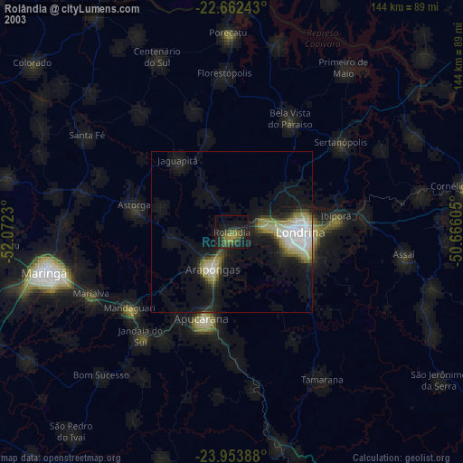
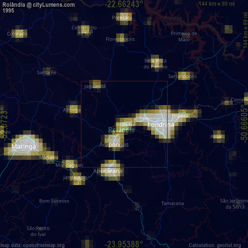
» NASA, Earths city lights 1995
» NASA city lights 2003
» Earth at Night: Flat Maps 2012, 2016