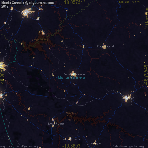
Monte Carmelo night lights from space
Night Light of Monte Carmelo (Minas Gerais) from space (Brazil) Src. Average luminocity for 10x10km area is 25.3554% and for 50x50km: 1.3899%.
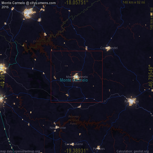
Analysis of Monte Carmelo night lights 2016
Square area 10x10 km:
 1.03%
1.03%90-99
2.89%80-89
2.27%70-79
8.06%60-69
6.4%50-59
3.93%40-49
3.31%30-39
1.65%20-29
0.21%10-19
18.18%0-9
52.07%Square area 50x50 km:
0.04%90-99
0.11%80-89
0.09%70-79
0.36%60-69
0.35%50-59
0.19%40-49
0.28%30-39
0.16%20-29
0.15%10-19
0.76%0-9
97.5%Clear (daylight) street map image can be seen on geolist.org.
Map coordinates:
18° 3' 27" South, 48° 12' 6.3" West
18° 43' 29" South, 47° 29' 55" West
19° 23' 21.5" South, 46° 47' 43.8" West
Some cities around Monte Carmelo sort by population:
• Uberlândia
84.7 km =52.6 mi,  255°
255°
• Patos de Minas
104.6 km =65 mi,  81°
81°
• Araguari
73 km =45.4 mi,  276°
276°
• Araxá
113 km =70.2 mi,  148°
148°
• Patrocínio
58.6 km =36.4 mi,  114°
114°
• Catalão
78.1 km =48.5 mi,  322°
322°
• Coromandel
42.1 km =26.2 mi,  48°
48°
• Vazante
103 km =64 mi,  37°
37°
3456848 (p: 44,041)
Sources (retrieved 2019-11-25):
» Earth at Night: Flat Maps 2012, 2016