Portel night lights from space
Night Light of Portel (Pará) from space (Brazil) Src. Average luminocity for 10x10km area is 6.684% and for 50x50km: 0.3745%.
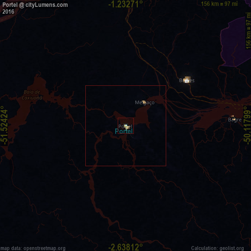

Analysis of Portel night lights 2016
Square area 10x10 km:
 0.43%
0.43%90-99
0.43%80-89
2.6%70-79
1.73%60-69
0.43%50-59
0.43%40-49
0.65%30-39
1.08%20-29
0.65%10-19
0.65%0-9
90.91%Square area 50x50 km:
0.02%90-99
0.02%80-89
0.11%70-79
0.13%60-69
0.02%50-59
0.05%40-49
0.03%30-39
0.08%20-29
0.03%10-19
0.09%0-9
99.43%Clear (daylight) street map image can be seen on geolist.org.
Map coordinates:
1° 13' 57.8" South, 51° 31' 27.3" West
1° 56' 8" South, 50° 49' 16" West
2° 38' 17.2" South, 50° 7' 4.8" West
Some cities around Portel sort by population:
• Breves
47.2 km =29.3 mi,  53°
53°
• Cametá
151.2 km =94 mi,  103°
103°
• Mocajuba
162.8 km =101.2 mi,  116°
116°
• Baião
159.2 km =98.9 mi,  126°
126°
• Oeiras do Pará
107.7 km =66.9 mi,  93°
93°
• Porto de Moz
158.9 km =98.7 mi,  277°
277°
• Gurupá
108.5 km =67.4 mi,  302°
302°
• Senador José Porfírio
145.4 km =90.3 mi,  239°
239°
3391412 (p: 21,315)
Sources (retrieved 2019-11-25):
» Earth at Night: Flat Maps 2012, 2016