Afonso Cláudio night lights from space
Night Light of Afonso Cláudio (Espírito Santo) from space (Brazil) Src. Average luminocity for 10x10km area is 10.0377% and for 50x50km: 1.3688%.
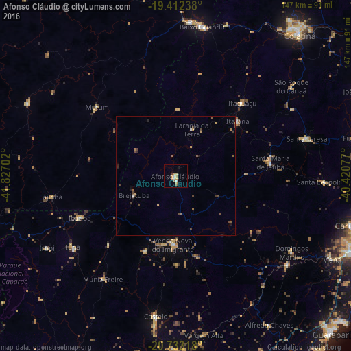
Analysis of Afonso Cláudio night lights 2016
Square area 10x10 km:
 1.59%
1.59%90-99
0.79%80-89
2.38%70-79
2.98%60-69
0.6%50-59
1.19%40-49
0%30-39
0.79%20-29
0%10-19
0.79%0-9
88.89%Square area 50x50 km:
0.1%90-99
0.06%80-89
0.21%70-79
0.23%60-69
0.19%50-59
0.22%40-49
0.52%30-39
0.17%20-29
0.16%10-19
0.16%0-9
97.99%Clear (daylight) street map image can be seen on geolist.org.
Map coordinates:
19° 24' 44.6" South, 41° 49' 37.3" West
20° 4' 27" South, 41° 7' 26" West
20° 43' 59.4" South, 40° 25' 14.8" West
Some cities around Afonso Cláudio sort by population:
• Lajinha
52.8 km =32.8 mi,  260°
260°
• Iúna
52.5 km =32.6 mi,  234°
234°
• Santa Maria de Jetibá
40.1 km =24.9 mi,  82°
82°
• Mutum
44.8 km =27.8 mi,  312°
312°
• Ibatiba
44.1 km =27.4 mi,  246°
246°
• Muniz Freire
52.8 km =32.8 mi,  214°
214°
• Itaguaçu
41.3 km =25.7 mi,  42°
42°
• Jetibá
46.6 km =29 mi, 82°
3473129 (p: 13,543)
Sources (retrieved 2019-11-25):
» Earth at Night: Flat Maps 2012, 2016