Itaguaçu night lights from space
Night Light of Itaguaçu (Espírito Santo) from space (Brazil) Src. Average luminocity for 10x10km area is 8.4628% and for 50x50km: 2.0242%.
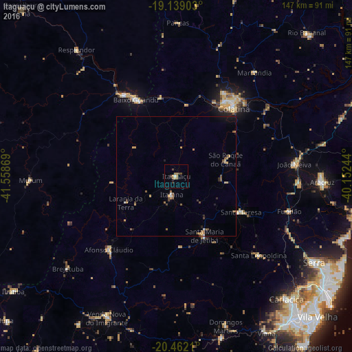
Analysis of Itaguaçu night lights 2016
Square area 10x10 km:
 0.41%
0.41%90-99
0.41%80-89
0.83%70-79
1.65%60-69
2.89%50-59
0.62%40-49
2.27%30-39
1.65%20-29
0%10-19
0.83%0-9
88.43%Square area 50x50 km:
0.06%90-99
0.11%80-89
0.24%70-79
0.54%60-69
0.26%50-59
0.52%40-49
0.35%30-39
0.28%20-29
0.19%10-19
0.51%0-9
96.94%Clear (daylight) street map image can be seen on geolist.org.
Map coordinates:
19° 8' 20.5" South, 41° 33' 31.3" West
19° 48' 7" South, 40° 51' 20" West
20° 27' 43.6" South, 40° 9' 8.8" West
Some cities around Itaguaçu sort by population:
• Colatina
37.5 km =23.3 mi,  38°
38°
• Baixo Guandu
35.7 km =22.2 mi,  331°
331°
• Aimorés
40.4 km =25.1 mi, 327°
• Afonso Cláudio
41.3 km =25.7 mi,  222°
222°
• Santa Maria de Jetibá
27.7 km =17.2 mi,  154°
154°
• João Neiva
49.4 km =30.7 mi,  84°
84°
• Santa Teresa
30.6 km =19 mi,  119°
119°
• Jetibá
30.4 km =18.9 mi,  143°
143°
3460901 (p: 8,201)
Sources (retrieved 2019-11-25):
» Earth at Night: Flat Maps 2012, 2016