Muniz Freire night lights from space
Night Light of Muniz Freire (Espírito Santo) from space (Brazil) Src. Average luminocity for 10x10km area is 5.8636% and for 50x50km: 3.1728%.
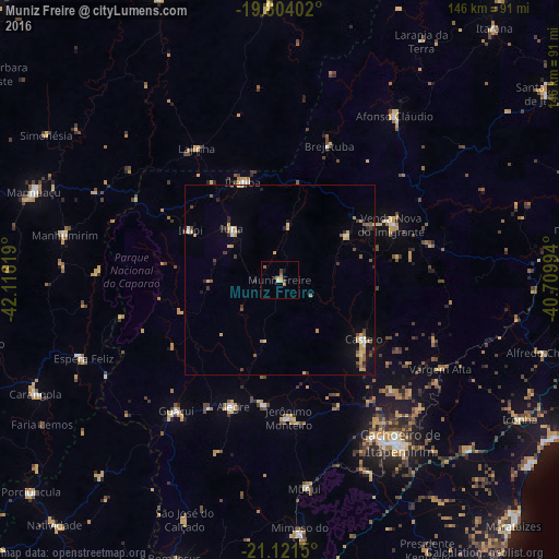
Analysis of Muniz Freire night lights 2016
Square area 10x10 km:
 0.38%
0.38%90-99
0.38%80-89
0.76%70-79
1.89%60-69
0.38%50-59
1.52%40-49
1.89%30-39
0.38%20-29
0%10-19
0.76%0-9
91.67%Square area 50x50 km:
0.17%90-99
0.33%80-89
0.56%70-79
0.68%60-69
0.27%50-59
0.5%40-49
0.44%30-39
0.41%20-29
0.6%10-19
1.07%0-9
94.98%Clear (daylight) street map image can be seen on geolist.org.
Map coordinates:
19° 48' 14.5" South, 42° 6' 58.3" West
20° 27' 51" South, 41° 24' 47" West
21° 7' 17.4" South, 40° 42' 35.8" West
Some cities around Muniz Freire sort by population:
• Castelo
28.4 km =17.6 mi,  123°
123°
• Guaçuí
44.4 km =27.6 mi,  218°
218°
• Alegre
35.6 km =22.1 mi,  200°
200°
• Lajinha
41.1 km =25.5 mi,  327°
327°
• Iúna
18.4 km =11.4 mi,  315°
315°
• Afonso Cláudio
52.8 km =32.8 mi,  34°
34°
• Ibatiba
27.5 km =17.1 mi,  338°
338°
• Jerônimo Monteiro
36.2 km =22.5 mi,  177°
177°
3456530 (p: 8,312)
Sources (retrieved 2019-11-25):
» Earth at Night: Flat Maps 2012, 2016