Warnes night lights from space
Night Light of Warnes (Santa Cruz) from space (Bolivia) Src. Average luminocity for 10x10km area is 40.7231% and for 50x50km: 12.7684%.
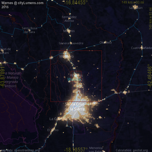
Analysis of Warnes night lights 2016
Square area 10x10 km:
 2.48%
2.48%90-99
2.48%80-89
8.68%70-79
6.82%60-69
7.64%50-59
11.36%40-49
6.4%30-39
7.23%20-29
5.79%10-19
34.3%0-9
6.82%Square area 50x50 km:
1.02%90-99
1.29%80-89
2.44%70-79
2.04%60-69
2.62%50-59
1.68%40-49
1.86%30-39
2.1%20-29
3.36%10-19
8.37%0-9
73.21%Clear (daylight) street map image can be seen on geolist.org.
Map coordinates:
16° 50' 40.4" South, 63° 52' 15.3" West
17° 30' 58.7" South, 63° 10' 4" West
18° 11' 8.1" South, 62° 27' 52.8" West
Some cities around Warnes sort by population:
• Santa Cruz de la Sierra
30.1 km =18.7 mi,  182°
182°
• Montero
21.6 km =13.4 mi,  336°
336°
• Cotoca
35.7 km =22.2 mi,  159°
159°
• Mineros
44.7 km =27.8 mi,  351°
351°
• Portachuelo
30.1 km =18.7 mi,  307°
307°
• Pailón
46.7 km =29 mi,  108°
108°
• San Julian
43.6 km =27.1 mi,  132°
132°
• La Bélgica
6.4 km =4 mi,  234°
234°
3901301 (p: 22,036)
Sources (retrieved 2019-11-25):
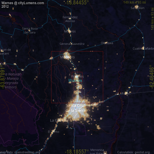
» Earth at Night: Flat Maps 2012, 2016