Abra Pampa night lights from space
Night Light of Abra Pampa (Jujuy) from space (Argentina) Src. Average luminocity for 10x10km area is 5.4087% and for 50x50km: 0.3034%.
Analysis of Abra Pampa night lights 2016
Square area 10x10 km:
 0.99%
0.99%90-99
0.6%80-89
1.39%70-79
1.79%60-69
0%50-59
0%40-49
0.79%30-39
0%20-29
0.2%10-19
0.6%0-9
93.65%Square area 50x50 km:
0.04%90-99
0.02%80-89
0.08%70-79
0.11%60-69
0%50-59
0%40-49
0.06%30-39
0.03%20-29
0.03%10-19
0.03%0-9
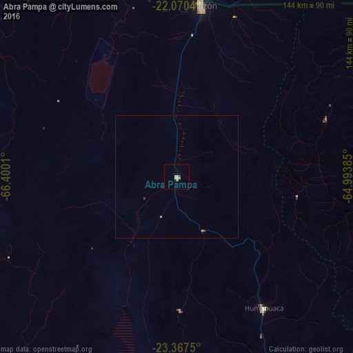
99.59%Clear (daylight) street map image can be seen on geolist.org.
Map coordinates:
22° 4' 13.4" South, 66° 24' 0.4" West
22° 43' 13.8" South, 65° 41' 49.1" West
23° 22' 3" South, 64° 59' 37.9" West
Some cities around Abra Pampa sort by population:
• San Ramón de la Nueva Orán
148 km =92 mi,  108°
108°
• Bermejo, BO
139.5 km =86.7 mi,  90°
90°
• Villazón, BO
71.3 km =44.3 mi,  8°
8°
• Tupiza, BO
142 km =88.2 mi,  359°
359°
• La Quiaca
69.6 km =43.2 mi, 8°
• Humahuaca
64.5 km =40.1 mi,  146°
146°
• Tilcara
100.2 km =62.3 mi,  162°
162°
• Calilegua
150.6 km =93.6 mi,  141°
141°
3867009 (p: 9,425)
Sources (retrieved 2019-11-25):
» Earth at Night: Flat Maps 2012, 2016