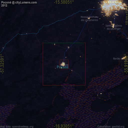
Poconé night lights from space
Night Light of Poconé (Mato Grosso) from space (Brazil) Src. Average luminocity for 10x10km area is 19.2707% and for 50x50km: 1.0009%.
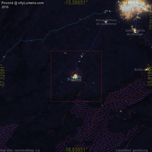
Analysis of Poconé night lights 2016
Square area 10x10 km:
 0.21%
0.21%90-99
1.45%80-89
4.75%70-79
4.34%60-69
1.86%50-59
2.89%40-49
4.34%30-39
1.86%20-29
5.37%10-19
3.31%0-9
69.63%Square area 50x50 km:
0.01%90-99
0.06%80-89
0.22%70-79
0.17%60-69
0.07%50-59
0.15%40-49
0.31%30-39
0.12%20-29
0.34%10-19
0.18%0-9
98.37%Clear (daylight) street map image can be seen on geolist.org.
Map coordinates:
15° 34' 49.8" South, 57° 19' 33.3" West
16° 15' 24" South, 56° 37' 22" West
16° 55' 49.8" South, 55° 55' 10.8" West
Some cities around Poconé sort by population:
• Cuiabá
92.5 km =57.5 mi,  37°
37°
• Várzea Grande
85.7 km =53.3 mi, 37°
• Barra do Bugres
144.6 km =89.9 mi,  335°
335°
• Lucas
74.1 km =46 mi,  96°
96°
• Chapada dos Guimarães
128.7 km =80 mi,  46°
46°
• Nobres
173.7 km =107.9 mi,  10°
10°
• Rosário Oeste
159.3 km =99 mi, 7°
• Santo Antônio do Leverger
72.8 km =45.2 mi, 53°
3453315 (p: 21,484)
Sources (retrieved 2019-11-25):
» Earth at Night: Flat Maps 2012, 2016