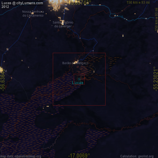
Lucas night lights from space
Night Light of Lucas (Mato Grosso) from space (Brazil) Src. Average luminocity for 10x10km area is 0% and for 50x50km: 0.2201%.

Analysis of Lucas night lights 2016
Square area 10x10 km:
 0%
0%90-99
0%80-89
0%70-79
0%60-69
0%50-59
0%40-49
0%30-39
0%20-29
0%10-19
0%0-9
100%Square area 50x50 km:
0%90-99
0%80-89
0.04%70-79
0.06%60-69
0.07%50-59
0%40-49
0.06%30-39
0.07%20-29
0.07%10-19
0%0-9
99.64%Clear (daylight) street map image can be seen on geolist.org.
Map coordinates:
15° 39' 26.7" South, 56° 38' 11.3" West
16° 19' 60" South, 55° 55' 60" West
17° 0' 24.8" South, 55° 13' 48.8" West
Some cities around Lucas sort by population:
• Cuiabá
83.8 km =52.1 mi,  347°
347°
• Várzea Grande
79.3 km =49.3 mi,  344°
344°
• Rondonópolis
139.3 km =86.6 mi,  96°
96°
• Jaciara
110.9 km =68.9 mi,  68°
68°
• Poconé
74.1 km =46 mi,  276°
276°
• Chapada dos Guimarães
99 km =61.5 mi,  11°
11°
• Poxoréo
173.9 km =108.1 mi, 71°
• Santo Antônio do Leverger
54.2 km =33.7 mi, 343°
3458397 (p: 27,665)
Sources (retrieved 2019-11-25):
» Earth at Night: Flat Maps 2012, 2016