Hamilton night lights from space
Night Light of Hamilton (Hamilton city) from space (Bermuda) Src. Average luminocity for 10x10km area is 34.6813% and for 50x50km: 2.6281%.
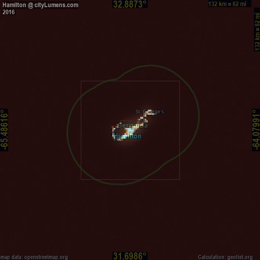
Analysis of Hamilton night lights 2016
Square area 10x10 km:
 4.58%
4.58%90-99
7.88%80-89
4.76%70-79
3.48%60-69
5.68%50-59
2.01%40-49
2.93%30-39
4.58%20-29
3.11%10-19
48.53%0-9
12.45%Square area 50x50 km:
0.2%90-99
0.39%80-89
0.34%70-79
0.27%60-69
0.4%50-59
0.26%40-49
0.25%30-39
0.39%20-29
0.48%10-19
2.91%0-9
94.09%Clear (daylight) street map image can be seen on geolist.org.
Map coordinates:
32° 53' 14.3" North, 65° 29' 10.2" West
32° 17' 41.6" North, 64° 46' 58.9" West
31° 41' 55" North, 64° 4' 47.7" West
Some cities around Hamilton sort by population:
• Virginia Beach, US
1142.3 km =709.8 mi,  296°
296°
• Elizabeth City, US
1142.5 km =709.9 mi,  292°
292°
• Harwich, US
1144.5 km =711.2 mi,  335°
335°
• South Yarmouth, US
1146.6 km =712.5 mi, 335°
• Morehead City, US
1138.9 km =707.7 mi,  283°
283°
• Nantucket, US
1105.3 km =686.8 mi,  334°
334°
• Kill Devil Hills, US
1084 km =673.6 mi, 292°
• West Yarmouth, US
1147 km =712.7 mi, 335°
3573197 (p: 902)
Sources (retrieved 2019-11-25):
» Earth at Night: Flat Maps 2012, 2016