Kill Devil Hills night lights from space
Night Light of Kill Devil Hills (North Carolina) from space (United States) Src. Average luminocity for 10x10km area is 24.3791% and for 50x50km: 3.3341%.
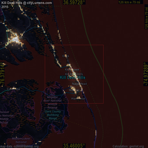
Analysis of Kill Devil Hills night lights 2016
Square area 10x10 km:
 1.1%
1.1%90-99
3.3%80-89
2.56%70-79
4.76%60-69
3.48%50-59
4.76%40-49
2.38%30-39
6.96%20-29
0%10-19
29.67%0-9
41.03%Square area 50x50 km:
0.07%90-99
0.18%80-89
0.29%70-79
0.8%60-69
0.65%50-59
0.54%40-49
0.48%30-39
0.75%20-29
0.38%10-19
2.21%0-9
93.66%Clear (daylight) street map image can be seen on geolist.org.
Map coordinates:
36° 35' 50.2" North, 76° 22' 44.9" West
36° 1' 50.6" North, 75° 40' 33.6" West
35° 27' 36.2" North, 74° 58' 22.4" West
Some cities around Kill Devil Hills sort by population:
• Virginia Beach
95.3 km =59.2 mi,  343°
343°
• Norfolk
105.8 km =65.7 mi,  329°
329°
• Chesapeake
102.7 km =63.8 mi, 328°
• Portsmouth Heights
107.5 km =66.8 mi,  324°
324°
• Portsmouth
105.4 km =65.5 mi, 328°
• Suffolk
112.4 km =69.8 mi,  313°
313°
• South Suffolk
111.9 km =69.5 mi, 312°
• Elizabeth City
59.4 km =36.9 mi,  299°
299°
4474274 (p: 7,058)
Sources (retrieved 2019-11-25):
» Earth at Night: Flat Maps 2012, 2016