Harwich night lights from space
Night Light of Harwich (Massachusetts) from space (United States) Src. Average luminocity for 10x10km area is 13.7532% and for 50x50km: 4.6068%.
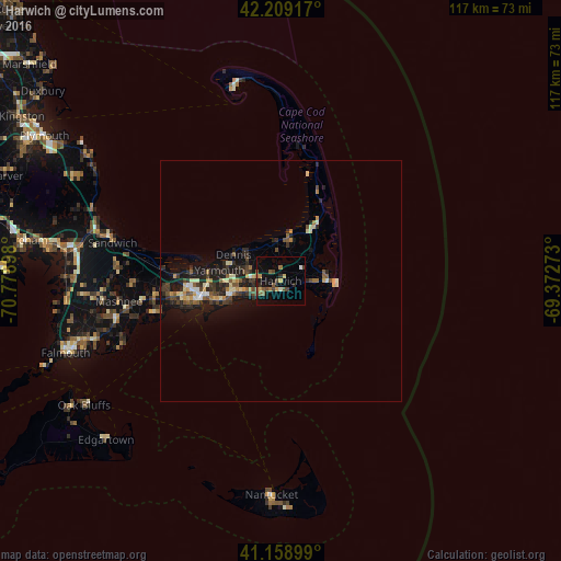
Analysis of Harwich night lights 2016
Square area 10x10 km:
 0.32%
0.32%90-99
0.97%80-89
0.65%70-79
2.6%60-69
1.95%50-59
3.57%40-49
4.22%30-39
0.65%20-29
2.27%10-19
8.93%0-9
73.86%Square area 50x50 km:
0.2%90-99
0.58%80-89
0.55%70-79
0.59%60-69
0.49%50-59
0.72%40-49
1%30-39
0.73%20-29
1.77%10-19
3.88%0-9
89.49%Clear (daylight) street map image can be seen on geolist.org.
Map coordinates:
42° 12' 33" North, 70° 46' 44.3" West
41° 41' 10.4" North, 70° 4' 33.1" West
41° 9' 32.4" North, 69° 22' 21.8" West
Some cities around Harwich sort by population:
• Barnstable
18.6 km =11.6 mi,  274°
274°
• Yarmouth
12.9 km =8 mi,  279°
279°
• Hyannis
17.6 km =10.9 mi,  257°
257°
• South Yarmouth
9.3 km =5.8 mi, 256°
• Centerville
23 km =14.3 mi, 259°
• West Yarmouth
14.3 km =8.9 mi,  253°
253°
• Eastham
18.1 km =11.2 mi,  27°
27°
• Yarmouth Port
14.5 km =9 mi, 276°
4939004 (p: 13,059)
Sources (retrieved 2019-11-25):
» Earth at Night: Flat Maps 2012, 2016