Nantucket night lights from space
Night Light of Nantucket (Massachusetts) from space (United States) Src. Average luminocity for 10x10km area is 8.7419% and for 50x50km: 0.3578%.
Analysis of Nantucket night lights 2016
Square area 10x10 km:
 0.49%
0.49%90-99
0.81%80-89
0.32%70-79
2.27%60-69
1.79%50-59
1.79%40-49
2.44%30-39
1.14%20-29
1.3%10-19
0.49%0-9
87.18%Square area 50x50 km:
0.02%90-99
0.03%80-89
0.01%70-79
0.09%60-69
0.07%50-59
0.07%40-49
0.1%30-39
0.05%20-29
0.05%10-19
0.02%0-9
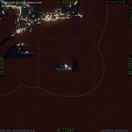
99.49%Clear (daylight) street map image can be seen on geolist.org.
Map coordinates:
41° 48' 34.9" North, 70° 48' 9.3" West
41° 17' 0.5" North, 70° 5' 58.1" West
40° 45' 10.7" North, 69° 23' 46.8" West
Some cities around Nantucket sort by population:
• Yarmouth
48.2 km =30 mi,  347°
347°
• Hyannis
43.8 km =27.2 mi,  339°
339°
• Harwich
44.8 km =27.8 mi,  2°
2°
• South Yarmouth
43.2 km =26.8 mi, 350°
• Centerville
45.6 km =28.3 mi,  332°
332°
• Marstons Mills
49.1 km =30.5 mi, 327°
• West Yarmouth
42.4 km =26.3 mi, 343°
• Yarmouth Port
48.2 km =30 mi, 344°
4944903 (p: 7,446)
Sources (retrieved 2019-11-25):
» Earth at Night: Flat Maps 2012, 2016