West Yarmouth night lights from space
Night Light of West Yarmouth (Massachusetts) from space (United States) Src. Average luminocity for 10x10km area is 37.4367% and for 50x50km: 6.5581%.
Analysis of West Yarmouth night lights 2016
Square area 10x10 km:
 3.57%
3.57%90-99
8.93%80-89
4.22%70-79
4.38%60-69
3.25%50-59
6.17%40-49
6.98%30-39
7.31%20-29
12.66%10-19
25.97%0-9
16.56%Square area 50x50 km:
0.23%90-99
0.64%80-89
0.77%70-79
0.69%60-69
0.82%50-59
1.04%40-49
1.45%30-39
1.21%20-29
2.55%10-19
5.68%0-9
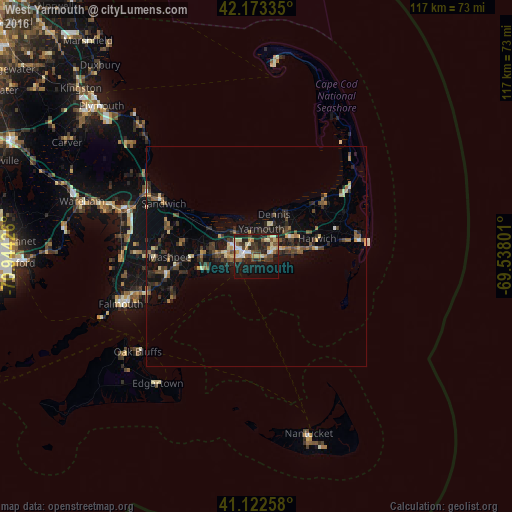
84.93%Clear (daylight) street map image can be seen on geolist.org.
Map coordinates:
42° 10' 24.1" North, 70° 56' 39.3" West
41° 39' 0.4" North, 70° 14' 28.1" West
41° 7' 21.3" North, 69° 32' 16.8" West
Some cities around West Yarmouth sort by population:
• Barnstable
7.4 km =4.6 mi,  318°
318°
• Yarmouth
6.3 km =3.9 mi,  9°
9°
• Hyannis
3.5 km =2.2 mi,  275°
275°
• Harwich
14.3 km =8.9 mi,  73°
73°
• South Yarmouth
5 km =3.1 mi, 68°
• Centerville
8.9 km =5.5 mi,  269°
269°
• Marstons Mills
14.6 km =9.1 mi, 272°
• Yarmouth Port
5.8 km =3.6 mi,  353°
353°
4955143 (p: 6,012)
Sources (retrieved 2019-11-25):
» Earth at Night: Flat Maps 2012, 2016