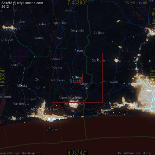
Sakété night lights from space
Night Light of Sakété (Plateau) from space (Benin) Src. Average luminocity for 10x10km area is 2.5909% and for 50x50km: 1.3792%.
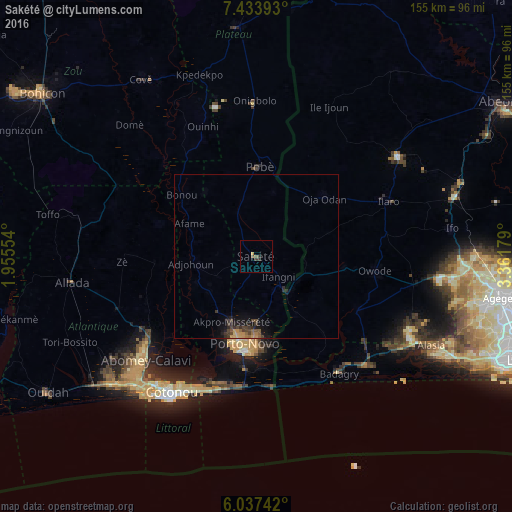
Analysis of Sakété night lights 2016
Square area 10x10 km:
 0%
0%90-99
0%80-89
0%70-79
0.65%60-69
0.43%50-59
0.65%40-49
0.87%30-39
1.52%20-29
1.08%10-19
0%0-9
94.81%Square area 50x50 km:
0%90-99
0%80-89
0.06%70-79
0.39%60-69
0.16%50-59
0.31%40-49
0.41%30-39
0.51%20-29
0.41%10-19
1.13%0-9
96.63%Clear (daylight) street map image can be seen on geolist.org.
Map coordinates:
7° 26' 2.1" North, 1° 57' 19.9" East
6° 44' 10.2" North, 2° 39' 31.2" East
6° 2' 14.7" North, 3° 21' 42.4" East
Some cities around Sakété sort by population:
• Cotonou
49 km =30.4 mi,  212°
212°
• Abomey-Calavi
46.3 km =28.8 mi,  226°
226°
• Porto-Novo
27.3 km =17 mi,  192°
192°
• Ilaro, NG
42.8 km =26.6 mi,  66°
66°
• Pobé
27.1 km =16.8 mi,  1°
1°
• Badagry, NG
43.4 km =27 mi,  145°
145°
• Ado-Odo, NG
35 km =21.7 mi,  116°
116°
• Idiroko, NG
15.2 km =9.4 mi,  139°
139°
2392009 (p: 30,111)
Sources (retrieved 2019-11-25):
» Earth at Night: Flat Maps 2012, 2016