Nikki night lights from space
Night Light of Nikki (Borgou) from space (Benin) Src. Average luminocity for 10x10km area is 0.3533% and for 50x50km: 0.0144%.
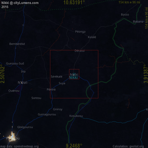
Analysis of Nikki night lights 2016
Square area 10x10 km:
 0%
0%90-99
0%80-89
0%70-79
0%60-69
0%50-59
0%40-49
0%30-39
0.83%20-29
0%10-19
0%0-9
99.17%Square area 50x50 km:
0%90-99
0%80-89
0%70-79
0%60-69
0%50-59
0%40-49
0%30-39
0.03%20-29
0%10-19
0%0-9
99.97%Clear (daylight) street map image can be seen on geolist.org.
Map coordinates:
10° 37' 54.9" North, 2° 30' 27.4" East
9° 56' 24.3" North, 3° 12' 38.7" East
9° 14' 48.5" North, 3° 54' 49.9" East
Some cities around Nikki sort by population:
• Parakou
92.4 km =57.4 mi,  223°
223°
• Okuta, NG
80.5 km =50 mi,  182°
182°
• Bembèrèkè
68 km =42.3 mi,  298°
298°
• Kaiama, NG
88.3 km =54.9 mi,  114°
114°
• Babana, NG
85.6 km =53.2 mi,  50°
50°
• Yashikera, NG
28.3 km =17.6 mi,  132°
132°
• Suya, NG
52.7 km =32.7 mi, 183°
• Gwasero, NG
59.9 km =37.2 mi,  148°
148°
2392505 (p: 54,009)
Sources (retrieved 2019-11-25):
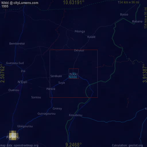
» NASA, Earths city lights 1995
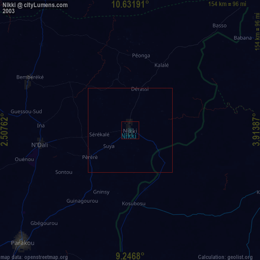
» NASA city lights 2003
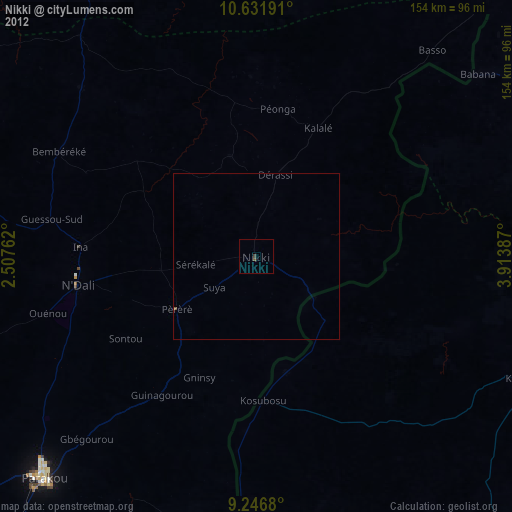
» Earth at Night: Flat Maps 2012, 2016