Gwasero night lights from space
Night Light of Gwasero (Kwara) from space (Nigeria) Src. Average luminocity for 10x10km area is 0% and for 50x50km: 0%.
Analysis of Gwasero night lights 2016
Square area 10x10 km:
100  0%
0%
90-99 0%
80-89 0%
70-79 0%
60-69 0%
50-59 0%
40-49 0%
30-39 0%
20-29 0%
10-19 0%
0-9 100%
0%90-99
0%80-89
0%70-79
0%60-69
0%50-59
0%40-49
0%30-39
0%20-29
0%10-19
0%0-9
100%Square area 50x50 km:
100 0%
90-99 0%
80-89 0%
70-79 0%
60-69 0%
50-59 0%
40-49 0%
30-39 0%
20-29 0%
10-19 0%
0-9 100%
0%90-99
0%80-89
0%70-79
0%60-69
0%50-59
0%40-49
0%30-39
0%20-29
0%10-19
0%0-9
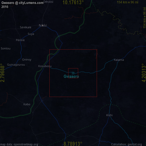
100%Clear (daylight) street map image can be seen on geolist.org.
Map coordinates:
10° 10' 34.1" North, 2° 47' 48.8" East
9° 28' 60" North, 3° 30' 0" East
8° 47' 20.9" North, 4° 12' 11.3" East
Some cities around Gwasero sort by population:
• Saki
91.4 km =56.8 mi,  187°
187°
• Kisi
58.9 km =36.6 mi,  139°
139°
• Igboho
77.1 km =47.9 mi,  158°
158°
• Nikki, BJ
59.9 km =37.2 mi,  328°
328°
• Okuta
45.7 km =28.4 mi,  229°
229°
• Kaiama
50.2 km =31.2 mi,  74°
74°
• Yashikera
33.4 km =20.8 mi,  340°
340°
• Suya
34.8 km =21.6 mi,  266°
266°
2339753 (p: 7,263)
Sources (retrieved 2019-11-25):
» Earth at Night: Flat Maps 2012, 2016