Okuta night lights from space
Night Light of Okuta (Kwara) from space (Nigeria) Src. Average luminocity for 10x10km area is 0% and for 50x50km: 0%.
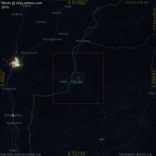
Analysis of Okuta night lights 2016
Square area 10x10 km:
100  0%
0%
90-99 0%
80-89 0%
70-79 0%
60-69 0%
50-59 0%
40-49 0%
30-39 0%
20-29 0%
10-19 0%
0-9 100%
0%90-99
0%80-89
0%70-79
0%60-69
0%50-59
0%40-49
0%30-39
0%20-29
0%10-19
0%0-9
100%Square area 50x50 km:
100 0%
90-99 0%
80-89 0%
70-79 0%
60-69 0%
50-59 0%
40-49 0%
30-39 0%
20-29 0%
10-19 0%
0-9 100%
0%90-99
0%80-89
0%70-79
0%60-69
0%50-59
0%40-49
0%30-39
0%20-29
0%10-19
0%0-9
100%Clear (daylight) street map image can be seen on geolist.org.
Map coordinates:
9° 54' 36.1" North, 2° 28' 48.7" East
9° 13' 0" North, 3° 10' 60" East
8° 31' 19.1" North, 3° 53' 11.2" East
Some cities around Okuta sort by population:
• Saki
65.3 km =40.6 mi,  159°
159°
• Parakou, BJ
62.1 km =38.6 mi,  282°
282°
• Kisi
74.9 km =46.5 mi,  101°
101°
• Igboho
75.7 km =47 mi,  123°
123°
• Tchaourou, BJ
74.1 km =46 mi,  240°
240°
• Yashikera
65.6 km =40.8 mi,  21°
21°
• Suya
27.8 km =17.3 mi,  0°
0°
• Gwasero
45.7 km =28.4 mi,  49°
49°
2326811 (p: 26,589)
Sources (retrieved 2019-11-25):
» Earth at Night: Flat Maps 2012, 2016