Kaiama night lights from space
Night Light of Kaiama (Kwara) from space (Nigeria) Src. Average luminocity for 10x10km area is 0% and for 50x50km: 0%.

Analysis of Kaiama night lights 2016
Square area 10x10 km:
100  0%
0%
90-99 0%
80-89 0%
70-79 0%
60-69 0%
50-59 0%
40-49 0%
30-39 0%
20-29 0%
10-19 0%
0-9 100%
0%90-99
0%80-89
0%70-79
0%60-69
0%50-59
0%40-49
0%30-39
0%20-29
0%10-19
0%0-9
100%Square area 50x50 km:
100 0%
90-99 0%
80-89 0%
70-79 0%
60-69 0%
50-59 0%
40-49 0%
30-39 0%
20-29 0%
10-19 0%
0-9 100%
0%90-99
0%80-89
0%70-79
0%60-69
0%50-59
0%40-49
0%30-39
0%20-29
0%10-19
0%0-9
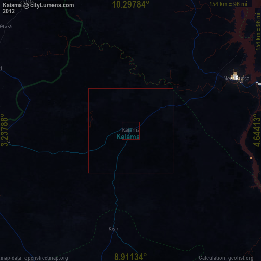
100%Clear (daylight) street map image can be seen on geolist.org.
Map coordinates:
10° 17' 52.2" North, 3° 14' 16.4" East
9° 36' 19.1" North, 3° 56' 27.6" East
8° 54' 40.8" North, 4° 38' 38.9" East
Some cities around Kaiama sort by population:
• Kisi
58.9 km =36.6 mi,  189°
189°
• Igboho
87.7 km =54.5 mi, 193°
• Nikki, BJ
88.3 km =54.9 mi,  294°
294°
• Babana
92.7 km =57.6 mi,  351°
351°
• Yashikera
62 km =38.5 mi, 286°
• Wawa
61.9 km =38.5 mi,  57°
57°
• Suya
84.5 km =52.5 mi,  259°
259°
• Gwasero
50.2 km =31.2 mi,  254°
254°
2335596 (p: 21,897)
Sources (retrieved 2019-11-25):
» Earth at Night: Flat Maps 2012, 2016