Babana night lights from space
Night Light of Babana (Niger) from space (Nigeria) Src. Average luminocity for 10x10km area is 0% and for 50x50km: 0%.
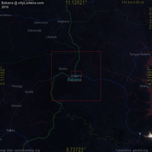
Analysis of Babana night lights 2016
Square area 10x10 km:
 0%
0%90-99
0%80-89
0%70-79
0%60-69
0%50-59
0%40-49
0%30-39
0%20-29
0%10-19
0%0-9
100%Square area 50x50 km:
0%90-99
0%80-89
0%70-79
0%60-69
0%50-59
0%40-49
0%30-39
0%20-29
0%10-19
0%0-9
100%Clear (daylight) street map image can be seen on geolist.org.
Map coordinates:
11° 7' 12.8" North, 3° 6' 42.6" East
10° 25' 46.2" North, 3° 48' 53.8" East
9° 44' 14" North, 4° 31' 5.1" East
Some cities around Babana sort by population:
• Nikki, BJ
85.6 km =53.2 mi,  230°
230°
• Kaiama
92.7 km =57.6 mi,  171°
171°
• Yashikera
86.6 km =53.8 mi,  211°
211°
• Wawa
88.4 km =54.9 mi,  131°
131°
• Auna
102.9 km =63.9 mi,  105°
105°
• Konkwesso
55.8 km =34.7 mi,  33°
33°
• New Shagunnu
72.2 km =44.9 mi,  97°
97°
• Gwasero
110.7 km =68.8 mi,  198°
198°
2348507 (p: 17,617)
Sources (retrieved 2019-11-25):
» Earth at Night: Flat Maps 2012, 2016