Bétérou night lights from space
Night Light of Bétérou (Borgou) from space (Benin) Src. Average luminocity for 10x10km area is 0.3896% and for 50x50km: 0.0229%.
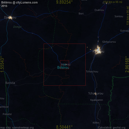
Analysis of Bétérou night lights 2016
Square area 10x10 km:
 0%
0%90-99
0%80-89
0%70-79
0%60-69
0%50-59
0%40-49
0%30-39
0.87%20-29
0%10-19
0%0-9
99.13%Square area 50x50 km:
0%90-99
0%80-89
0%70-79
0%60-69
0%50-59
0%40-49
0%30-39
0.03%20-29
0.03%10-19
0%0-9
99.93%Clear (daylight) street map image can be seen on geolist.org.
Map coordinates:
9° 53' 33.1" North, 1° 33' 19.5" East
9° 11' 57" North, 2° 15' 30.8" East
8° 30' 15.9" North, 2° 57' 42" East
Some cities around Bétérou sort by population:
• Djougou
86.2 km =53.6 mi,  311°
311°
• Parakou
43.6 km =27.1 mi,  69°
69°
• Okuta, NG
101.5 km =63.1 mi,  88°
88°
• Tchamba, TG
94.2 km =58.5 mi,  258°
258°
• Bassila
68.5 km =42.6 mi,  251°
251°
• Bafilo, TG
110.1 km =68.4 mi,  278°
278°
• Tchaourou
50.9 km =31.6 mi,  133°
133°
• Suya, NG
105.7 km =65.7 mi, 73°
2395127 (p: 13,108)
Sources (retrieved 2019-11-25):
» Earth at Night: Flat Maps 2012, 2016