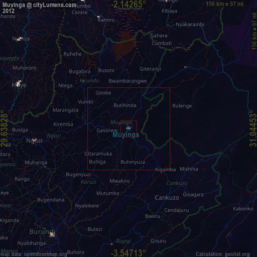
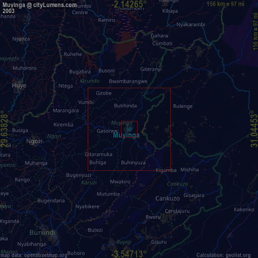
Muyinga night lights from space
Night Light of Muyinga from space (Burundi) Src. Average luminocity for 10x10km area is 2.2554% and for 50x50km: 0.0902%.
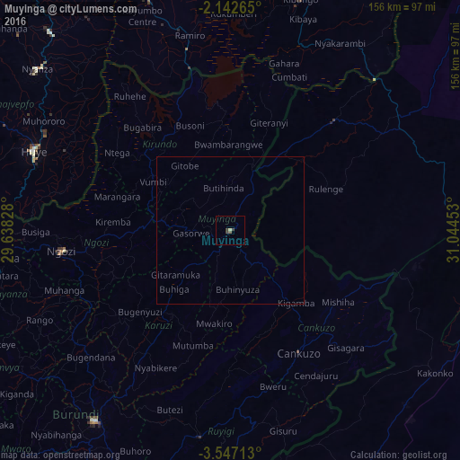

Analysis of Muyinga night lights 2016
Square area 10x10 km:
 0%
0%90-99
0%80-89
0.87%70-79
0%60-69
0%50-59
0.65%40-49
0.65%30-39
2.16%20-29
0%10-19
0%0-9
95.67%Square area 50x50 km:
0%90-99
0%80-89
0.03%70-79
0%60-69
0%50-59
0.03%40-49
0.03%30-39
0.09%20-29
0%10-19
0%0-9
99.83%Clear (daylight) street map image can be seen on geolist.org.
Map coordinates:
2° 8' 33.5" South, 29° 38' 17.8" East
2° 50' 42.4" South, 30° 20' 29" East
3° 32' 49.7" South, 31° 2' 40.3" East
Some cities around Muyinga sort by population:
• Bugarama, TZ
20.9 km =13 mi,  97°
97°
• Rulenge, TZ
35.3 km =21.9 mi,  66°
66°
• Ngozi
57.1 km =35.5 mi,  263°
263°
• Kabanga, TZ
26.9 km =16.7 mi,  31°
31°
• Ngara, TZ
50.9 km =31.6 mi,  43°
43°
• Karuzi
34.7 km =21.6 mi,  214°
214°
• Cankuzo
47.7 km =29.6 mi,  150°
150°
• Kirundo
39.8 km =24.7 mi,  316°
316°
431748 (p: 71,076)
Sources (retrieved 2019-11-25):
» NASA, Earths city lights 1995
» NASA city lights 2003
» Earth at Night: Flat Maps 2012, 2016