Tsarevo night lights from space
Night Light of Tsarevo (Burgas) from space (Bulgaria) Src. Average luminocity for 10x10km area is 2.9% and for 50x50km: 0.272%.
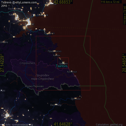
Analysis of Tsarevo night lights 2016
Square area 10x10 km:
 0%
0%90-99
0%80-89
0%70-79
0.61%60-69
0.3%50-59
1.06%40-49
2.42%30-39
0.91%20-29
0.15%10-19
0%0-9
94.55%Square area 50x50 km:
0%90-99
0.03%80-89
0%70-79
0.05%60-69
0.03%50-59
0.08%40-49
0.13%30-39
0.06%20-29
0.09%10-19
0.07%0-9
99.47%Clear (daylight) street map image can be seen on geolist.org.
Map coordinates:
42° 41' 18.7" North, 27° 8' 32.2" East
42° 10' 10.4" North, 27° 50' 43.5" East
41° 38' 46.6" North, 28° 32' 54.7" East
Some cities around Tsarevo sort by population:
• Burgas
48.6 km =30.2 mi,  320°
320°
• Kırklareli, TR
70.5 km =43.8 mi,  226°
226°
• Aytos
76.6 km =47.6 mi, 320°
• Pomorie
47.2 km =29.3 mi,  337°
337°
• Pınarhisar, TR
66.4 km =41.3 mi,  203°
203°
• Vize, TR
66.7 km =41.4 mi,  185°
185°
• Sredets
58.3 km =36.2 mi,  289°
289°
• Nesebar
55.2 km =34.3 mi,  350°
350°
729125 (p: 6,085)
Sources (retrieved 2019-11-25):
» Earth at Night: Flat Maps 2012, 2016