Aytos night lights from space
Night Light of Aytos (Burgas) from space (Bulgaria) Src. Average luminocity for 10x10km area is 6.1424% and for 50x50km: 3.8305%.
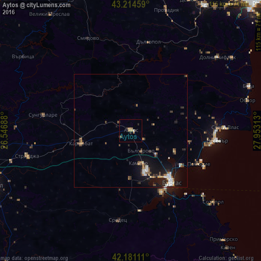
Analysis of Aytos night lights 2016
Square area 10x10 km:
 0%
0%90-99
0.61%80-89
0.15%70-79
2.27%60-69
1.21%50-59
0.76%40-49
1.06%30-39
0.61%20-29
2.42%10-19
0%0-9
90.91%Square area 50x50 km:
0.36%90-99
0.69%80-89
0.21%70-79
0.47%60-69
0.41%50-59
0.5%40-49
0.58%30-39
0.64%20-29
1.14%10-19
3.6%0-9
91.4%Clear (daylight) street map image can be seen on geolist.org.
Map coordinates:
43° 12' 52.5" North, 26° 32' 48.8" East
42° 42' 0" North, 27° 15' 0" East
42° 10' 52" North, 27° 57' 11.3" East
Some cities around Aytos sort by population:
• Burgas
28 km =17.4 mi,  140°
140°
• Karnobat
22.5 km =14 mi,  255°
255°
• Pomorie
34.6 km =21.5 mi,  116°
116°
• Sredets
39.6 km =24.6 mi,  188°
188°
• Dolni Chiflik
50 km =31.1 mi,  49°
49°
• Nesebar
40 km =24.9 mi,  96°
96°
• Straldzha
47.7 km =29.6 mi, 256°
• Dalgopol
39.8 km =24.7 mi,  11°
11°
733579 (p: 20,986)
Sources (retrieved 2019-11-25):
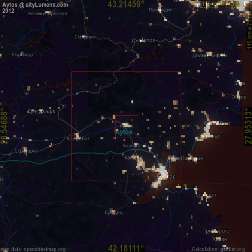
» Earth at Night: Flat Maps 2012, 2016