Burgas night lights from space
Night Light of Burgas from space (Bulgaria) Src. Average luminocity for 10x10km area is 34.173% and for 50x50km: 6.169%.
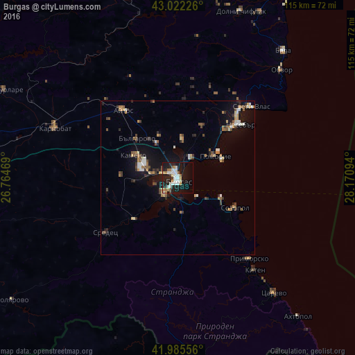
Analysis of Burgas night lights 2016
Square area 10x10 km:
 5.56%
5.56%90-99
11.11%80-89
1.75%70-79
4.44%60-69
2.38%50-59
3.33%40-49
0.48%30-39
2.22%20-29
11.27%10-19
33.81%0-9
23.65%Square area 50x50 km:
0.57%90-99
1.06%80-89
0.54%70-79
0.79%60-69
0.63%50-59
0.74%40-49
0.94%30-39
0.8%20-29
1.38%10-19
5.78%0-9
86.77%Clear (daylight) street map image can be seen on geolist.org.
Map coordinates:
43° 1' 20.1" North, 26° 45' 52.9" East
42° 30' 21.8" North, 27° 28' 4.1" East
41° 59' 8" North, 28° 10' 15.4" East
Some cities around Burgas sort by population:
• Aytos
28 km =17.4 mi,  320°
320°
• Karnobat
42.8 km =26.6 mi,  291°
291°
• Pomorie
14.7 km =9.1 mi,  64°
64°
• Sredets
29.5 km =18.3 mi,  233°
233°
• Dolni Chiflik
57.8 km =35.9 mi,  20°
20°
• Nesebar
27.8 km =17.3 mi,  52°
52°
• Tsarevo
48.6 km =30.2 mi,  140°
140°
• Dalgopol
61.2 km =38 mi,  350°
350°
732770 (p: 195,966)
Sources (retrieved 2019-11-25):
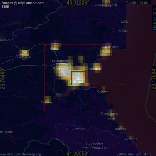
» NASA, Earths city lights 1995
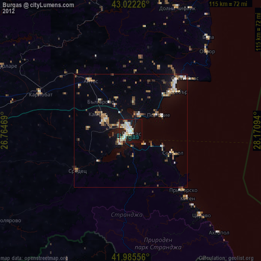
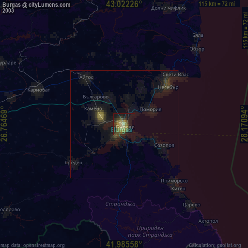
» NASA city lights 2003
» Earth at Night: Flat Maps 2012, 2016