Nesebar night lights from space
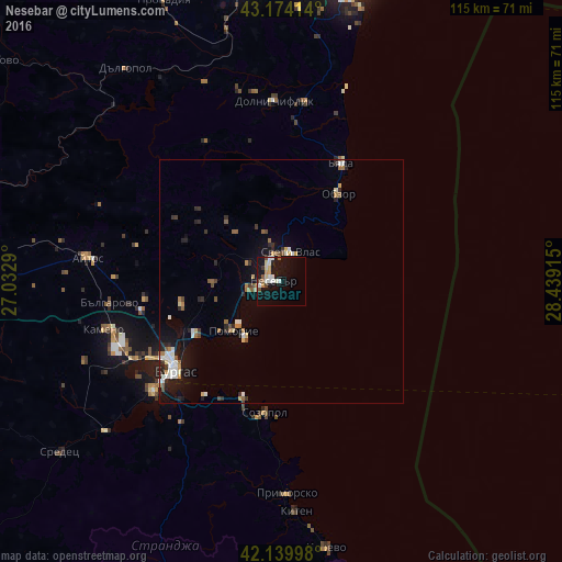
Night Light of Nesebar (Burgas) from space (Bulgaria) Src. Average luminocity for 10x10km area is 18.0697% and for 50x50km: 3.9835%.
Analysis of Nesebar night lights 2016
Square area 10x10 km:
 2.73%
2.73%90-99
4.24%80-89
1.97%70-79
2.58%60-69
0.45%50-59
1.52%40-49
2.27%30-39
0.61%20-29
0.61%10-19
25.3%0-9
57.73%Square area 50x50 km:
0.44%90-99
0.84%80-89
0.37%70-79
0.38%60-69
0.41%50-59
0.52%40-49
0.38%30-39
0.37%20-29
0.93%10-19
3.14%0-9
92.22%Clear (daylight) street map image can be seen on geolist.org.
Map coordinates:
43° 10' 26.9" North, 27° 1' 58.4" East
42° 39' 33.2" North, 27° 44' 9.7" East
42° 8' 23.9" North, 28° 26' 20.9" East
Some cities around Nesebar sort by population:
• Burgas
27.8 km =17.3 mi,  232°
232°
• Aytos
40 km =24.9 mi,  276°
276°
• Pomorie
13.8 km =8.6 mi,  219°
219°
• Sredets
57.3 km =35.6 mi, 232°
• Beloslav
59 km =36.7 mi,  357°
357°
• Dolni Chiflik
37.1 km =23.1 mi, 357°
• Tsarevo
55.2 km =34.3 mi,  170°
170°
• Dalgopol
53.6 km =33.3 mi,  324°
324°
728825 (p: 6,302)
Sources (retrieved 2019-11-25):
» Earth at Night: Flat Maps 2012, 2016