Zemst night lights from space
Night Light of Zemst (Flanders) from space (Belgium) Src. Average luminocity for 10x10km area is 67.9118% and for 50x50km: 57.0523%.
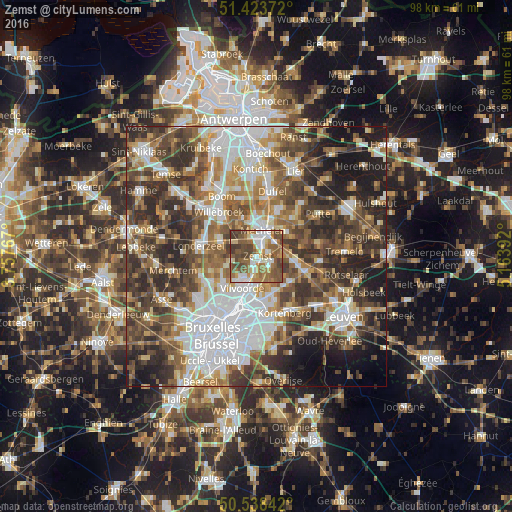
Analysis of Zemst night lights 2016
Square area 10x10 km:
 12.7%
12.7%90-99
13.64%80-89
5.48%70-79
8.56%60-69
16.58%50-59
20.72%40-49
15.64%30-39
6.68%20-29
0%10-19
0%0-9
0%Square area 50x50 km:
13.42%90-99
10.65%80-89
5.17%70-79
6.58%60-69
8.81%50-59
9.78%40-49
11.35%30-39
10.75%20-29
11.93%10-19
8.49%0-9
3.06%Clear (daylight) street map image can be seen on geolist.org.
Map coordinates:
51° 25' 25.4" North, 3° 45' 27.6" East
50° 58' 59.4" North, 4° 27' 38.8" East
50° 32' 18.3" North, 5° 9' 50.1" East
Some cities around Zemst sort by population:
• Mechelen
4.9 km =3 mi,  13°
13°
• Vilvoorde
6.5 km =4 mi,  199°
199°
• Bonheiden
7.5 km =4.7 mi,  54°
54°
• Machelen
8.2 km =5.1 mi,  189°
189°
• Boortmeerbeek
8 km =5 mi,  93°
93°
• Kampenhout
7.8 km =4.8 mi,  125°
125°
• Steenokkerzeel
8 km =5 mi,  154°
154°
• Kapelle-op-den-Bos
7.4 km =4.6 mi,  293°
293°
2783274 (p: 21,096)
Sources (retrieved 2019-11-25):
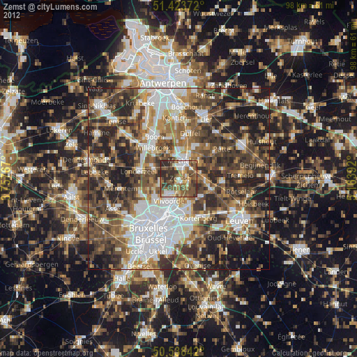
» Earth at Night: Flat Maps 2012, 2016