Vilvoorde night lights from space
Night Light of Vilvoorde (Flanders) from space (Belgium) Src. Average luminocity for 10x10km area is 87.4454% and for 50x50km: 55.4683%.
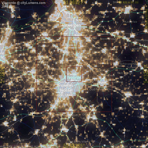
Analysis of Vilvoorde night lights 2016
Square area 10x10 km:
 37.82%
90-99
26.75%80-89
4.62%70-79
9.8%60-69
12.75%50-59
5.18%40-49
3.08%30-39
0%20-29
0%10-19
0%0-9
0%Square area 50x50 km:
11.88%90-99
9.98%80-89
5.46%70-79
6.52%60-69
9.01%50-59
10.02%40-49
11.01%30-39
11.55%20-29
12.43%10-19
7.72%0-9
4.42%Clear (daylight) street map image can be seen on geolist.org.
Map coordinates:
51° 22' 9.2" North, 3° 43' 34.5" East
50° 55' 41.3" North, 4° 25' 45.8" East
50° 28' 58.3" North, 5° 7' 57" East
Some cities around Vilvoorde sort by population:
• Grimbergen
4.1 km =2.5 mi,  279°
279°
• Zaventem
5.8 km =3.6 mi,  148°
148°
• Zemst
6.5 km =4 mi,  19°
19°
• Meise
7.3 km =4.5 mi, 279°
• Kraainem
7.9 km =4.9 mi,  159°
159°
• Machelen
2.1 km =1.3 mi, 156°
• Steenokkerzeel
5.7 km =3.5 mi,  100°
100°
• Diegem
3.4 km =2.1 mi,  175°
175°
2784604 (p: 36,955)
Sources (retrieved 2019-11-25):
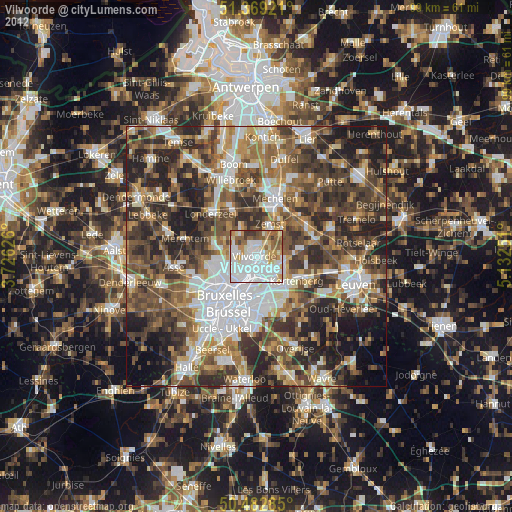
» Earth at Night: Flat Maps 2012, 2016