Waterloo night lights from space
Night Light of Waterloo (Wallonia) from space (Belgium) Src. Average luminocity for 10x10km area is 57.0201% and for 50x50km: 44.5351%.
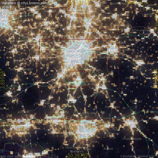
Analysis of Waterloo night lights 2016
Square area 10x10 km:
 9.09%
9.09%90-99
14.71%80-89
3.88%70-79
10.03%60-69
6.42%50-59
8.96%40-49
7.35%30-39
14.44%20-29
21.93%10-19
3.21%0-9
0%Square area 50x50 km:
10%90-99
7.71%80-89
3.84%70-79
4.72%60-69
5.87%50-59
6.63%40-49
7.4%30-39
8.89%20-29
12.61%10-19
20.5%0-9
11.82%Clear (daylight) street map image can be seen on geolist.org.
Map coordinates:
51° 9' 28" North, 3° 41' 45.5" East
50° 42' 52.9" North, 4° 23' 56.8" East
50° 16' 2.5" North, 5° 6' 8" East
Some cities around Waterloo sort by population:
• Braine-l'Alleud
4.1 km =2.5 mi,  212°
212°
• Beersel
9 km =5.6 mi,  309°
309°
• Rixensart
8.9 km =5.5 mi,  91°
91°
• Sint-Genesius-Rode
4.6 km =2.9 mi,  320°
320°
• Basse Lasne
6.9 km =4.3 mi,  108°
108°
• Hoeilaart
7.6 km =4.7 mi,  39°
39°
• Braine-le-Château
9.6 km =6 mi,  246°
246°
• La Hulpe
6.4 km =4 mi,  73°
73°
2783985 (p: 29,778)
Sources (retrieved 2019-11-25):
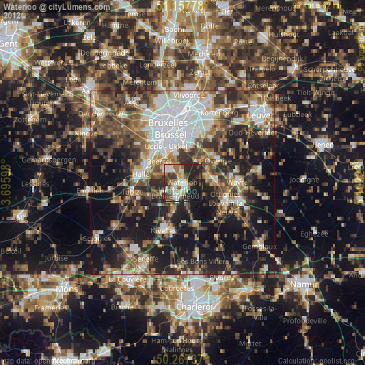
» Earth at Night: Flat Maps 2012, 2016