Rebecq-Rognon night lights from space
Night Light of Rebecq-Rognon (Wallonia) from space (Belgium) Src. Average luminocity for 10x10km area is 24.5749% and for 50x50km: 40.7418%.
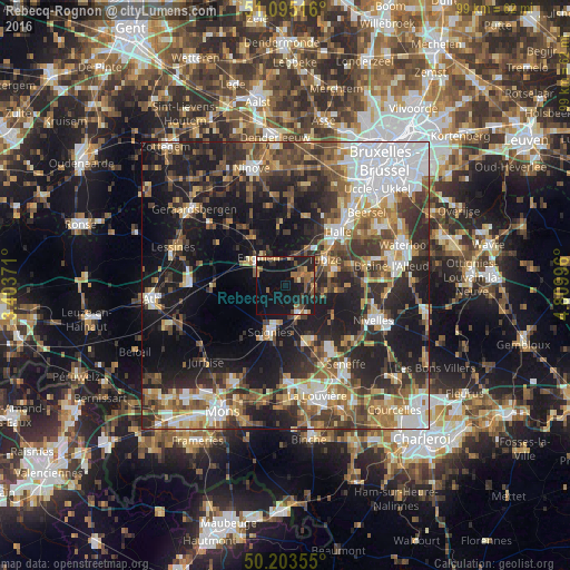
Analysis of Rebecq-Rognon night lights 2016
Square area 10x10 km:
 0.53%
0.53%90-99
2.14%80-89
1.87%70-79
3.74%60-69
4.41%50-59
6.82%40-49
4.14%30-39
1.2%20-29
7.09%10-19
37.97%0-9
30.08%Square area 50x50 km:
7.88%90-99
6.24%80-89
3.59%70-79
4.99%60-69
5.96%50-59
6.91%40-49
6.76%30-39
7.72%20-29
12.05%10-19
22.74%0-9
15.16%Clear (daylight) street map image can be seen on geolist.org.
Map coordinates:
51° 5' 42.6" North, 3° 24' 13.4" East
50° 39' 5.3" North, 4° 6' 24.6" East
50° 12' 12.8" North, 4° 48' 35.9" East
Some cities around Rebecq-Rognon sort by population:
• Soignies
8.4 km =5.2 mi,  197°
197°
• Tubize
7.9 km =4.9 mi,  56°
56°
• Braine-le-Comte
5.4 km =3.4 mi,  148°
148°
• Enghien
6.3 km =3.9 mi,  304°
304°
• Écaussinnes-d’Enghien
10.1 km =6.3 mi,  155°
155°
• Braine-le-Château
12.2 km =7.6 mi,  74°
74°
• Herne
9.5 km =5.9 mi,  327°
327°
• Ittre
11.2 km =7 mi,  94°
94°
2788299 (p: 10,049)
Sources (retrieved 2019-11-25):
» Earth at Night: Flat Maps 2012, 2016